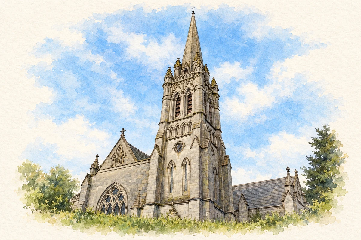
Myshall’s religious landmarks range from a ruined early church to the elaborate Adelaide Memorial Church, with traditions attached to a nearby carved stone.
Illustration, Adelaide Memorial Church of Christ the Redeemer, Myshall
⊕Recorded locationMyshall52.68705° N · 6.77983° WInteractive map supplied by OpenStreetMap.
A reliable full-name meaning has not been established here. The recorded Irish and English forms are given without an unsupported translation.
Recorded forms
Míseal· Irish · main form · validated name
Myshall· English · main form
Place & story
People & connections
John Duguid’s memorial church
John Duguid of Dover commissioned the Adelaide Memorial Church in memory of his daughter Constance and his wife Adelaide. The Irish Architectural Archive records Ashlin and Coleman’s work on the project, tenders in 1903 and consecration in 1913. The church’s Gothic form is associated with Salisbury Cathedral, while its interior brings together marble, mosaic, carved wood, stained glass and metalwork. A private family commemoration thus produced one of the village’s most elaborate buildings.[2][3]
Saint Finian’s surviving doorway
At the village centre, the ruined church dedicated to Saint Finian preserves a substantial west gable with a semicircular doorway. A field account published by Carlow Museum identifies it as a pre-Norman building and describes the nearby two-basin bullaun known as Saint Brigid’s Stone. The same account records a well dedicated to Brigid outside the graveyard, incorporated into a modern grotto. These neighbouring features preserve different forms of religious heritage around the older church site.[4]
Folklore & tradition
The witch’s slip
Carlow Museum’s account records a story linking the bullaun stone with the Witch Slide ridges on the Blackstairs Mountains. In this tradition, a witch quarrelling with a neighbour in Wexford slipped while throwing a stone; the ridges marked her fall, while the hollows at Myshall were marks of her knees. A standing stone at Clonee was identified with her intended missile. These are folkloric explanations connecting separate landscape features, rather than evidence of their geological or archaeological origins.[4]
Traces of Myshall Lodge
A County Kildare Archaeological Society visit in 2015 began at Myshall’s community centre, on the former coach-house and yard site of the Cornwall Brady estate. Its report identifies Robert Cornwall as the builder of Myshall Lodge and records the house’s destruction by fire in 1922. Surviving walls and two monkey puzzle trees marked the former estate setting during the visit. The reused yard offers a further strand of village history alongside its churches, with a community meeting place occupying part of an earlier private property.[5]
Both counts use the 2016 settlement boundary, allowing like-for-like comparison. CSO supplies the 2022 count on this older boundary for comparison only. The official 2022 Built Up Area has different boundaries.
View population figures
Myshall — Census 2016 settlement footprint — census population
These are the historical areas published in the 2006 census report. Boundaries may differ between censuses and from modern settlements. Legal towns, environs and suburbs are shown separately; none has been combined into a modern settlement total.
View population figures
Myshall, Carlow — Census town, CSO 2006 report — census population
These figures use different area definitions. Read the boundary note before comparing them.
Myshall, Carlow
Published census settlement populations
286people · 2016
Settlement boundaries changed during this period. Differences may reflect boundary changes as well as population change. Where a 2011 legal-town-and-environs count is shown, it has not been recalculated onto the 2016 settlement boundary.
 placenames