These Irish name elements are associated with this record in the Logainm glossary.
An element’s translation is a clue, rather than a complete explanation of the name. Its form and meaning depend on local history and the full Irish name.
Recorded forms
Ráth Bhile· Irish · main form · validated name
Rathvilly· English · main form
Place & story
Folklore & tradition
The king baptised by Patrick
In his 1905 life of Patrick, John Healy retold the tradition that the saint came to Rathvilly and converted King Crimthann, son of Enna Cennselach. The story also includes the king's wife Mel and his son Dathi, baptised together at the well near the fort. Healy linked the royal conversion with Patrick's appeal on behalf of Cathbad's displaced sons and the bishop Iserninus, whose return the king permitted. This account places Rathvilly within the saint's journeys through Leinster and connects local sacred geography with stories of kingship, reconciliation and the founding of churches.[2]
People & connections
Kevin Barry's Rathvilly education
Kevin Barry received his early education at Rathvilly National School. He later studied medicine at University College Dublin and joined the Irish Volunteers' Dublin Brigade. Arrested after a raid on British soldiers in Dublin on 20 September 1920, he was tried and executed in Mountjoy Gaol on 1 November. Carlow County Museum preserves his wallet and the remains of his last cigarette, returned to the family after his death and later donated by his nephew. These objects connect the remembered public figure with the young man who had attended school here.[3]
William Hague's granite church
Construction of St Patrick's Catholic church began in 1883, using granite quarried locally. William Hague designed the Gothic building, and John Harris of Monasterevin was its builder. Parish priest Patrick Nolan died before completion; the church opened in 1887 during John Phelan's pastorate. Its interior is divided by five bays of granite arches, with nave, aisles, chancel and side chapels. The substantial building gave Rathvilly a new religious landmark. An interior reordering in 1988 added another stage to its history of worship and adaptation.[4]
Both counts use the 2016 settlement boundary, allowing like-for-like comparison. CSO supplies the 2022 count on this older boundary for comparison only. The official 2022 Built Up Area has different boundaries.
View population figures
Rathvilly — Census 2016 settlement footprint — census population
These are the historical areas published in the 2006 census report. Boundaries may differ between censuses and from modern settlements. Legal towns, environs and suburbs are shown separately; none has been combined into a modern settlement total.
View population figures
Rathvilly, Carlow — Census town, CSO 2006 report — census population
These are the historical areas published in the 1996 census report. Boundaries may differ between censuses and from modern settlements. Legal towns, environs and suburbs are shown separately; none has been combined into a modern settlement total.
View population figures
Rathvilly, Carlow — Census town, CSO 1996 report — census population
Figures cover the historical town area printed in the 1986 report. Boundaries may have changed between censuses. Legal town, environs and suburb totals remain separate and differ from modern settlement boundaries.
View population figures
Rathvilly, Carlow — Census town, CSO 1986 report — census population
These figures use different area definitions. Read the boundary note before comparing them.
Rathvilly, Carlow
Published census settlement populations
944people · 2016
Settlement boundaries changed during this period. Differences may reflect boundary changes as well as population change. Where a 2011 legal-town-and-environs count is shown, it has not been recalculated onto the 2016 settlement boundary.
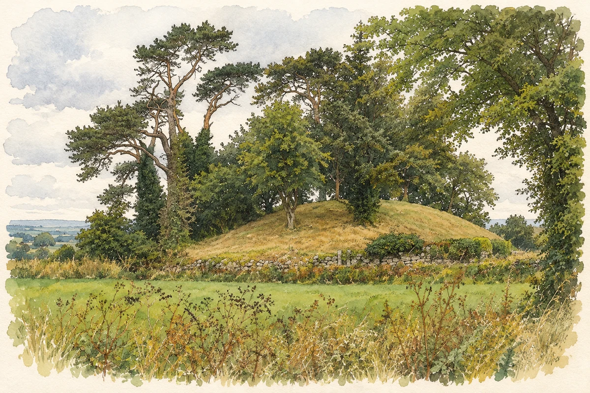
Rathvilly Moat, Knockroe, County Carlow illustration: based on a Knockroe-Rathvilly Motte.jpg by Wanfried-Dublin. AI-assisted watercolour and ink adaptation; cream paper margins added, incidental clutter omitted and fine details simplified. Licence: CC BY-SA 4.0.
 placenames