 placenames
Bluebell
An Cloigín Gorm
A Dublin community where an older burial ground survives among industry and post-war housing.
The name
A reliable full-name meaning has not been established here. The recorded Irish and English forms are given without an unsupported translation.
Recorded forms
- An Cloigín Gorm · Irish · main form · validated name
- Bluebell · English · main form
Place & story
A rural place transformed
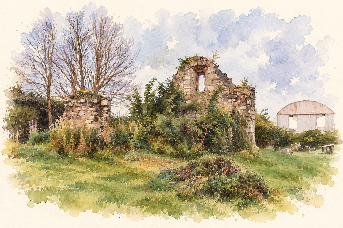
Bluebell’s cemetery preserves a visible link with the older landscape: the ruined church stands within a burial ground later surrounded by industrial premises. Local researcher Vern Paul describes Bluebell as largely a farming community before Dublin Corporation’s housing development brought new families in 1953. Mills had drawn on the Camac for water, and further industrial growth changed the setting of the cemetery. The older church enclosure became an island of memory within a very different district. [2]
The families who built a parish
The Oblates’ parish anniversary account recalls the couples who moved into the new housing scheme in 1953. It credits the Dowling family’s donation of land and a house called Cremorne in the early 1960s with making the new parish possible. Our Lady of the Wayside was consecrated on 5 March 1967, with Archbishop John Charles McQuaid as chief celebrant. The diocese records the parish’s formation that year from Inchicore, placing its beginnings within the development of the growing suburb. [3] [4]
Recording the burial ground
Vern Paul began volunteering for Dublin City Council in 2011 to make a database from Bluebell’s original cemetery register. His account describes checking errors and creating an online cemetery resource with photographs as well as burial entries. It is a practical example of local historical work: names and plots that might otherwise remain difficult to trace were brought together for public research, alongside the surviving church ruins and grave markers. [2]
Geographic information
- Place type
- Population centre
- County
- Dublin
- Barony
- Uppercross
- Civil parish
- Drimnagh
- Coordinates
- 53.34458, -6.33314 (approximate)
- Logainm ID
- 1412098 ↗
Sources & further reading
- Logainm.ie — Bluebell. Place names and geographic record, licensed under CC BY 4.0.
- Bluebell, South Dublin City · Vern Paul; page created by Neal O’Hara
- Thanksgiving for the Past, Celebrating the Present, Hopeful for the Future · Missionary Oblates of Mary Immaculate
- Bluebell parish history · Archdiocese of Dublin
- Surviving medieval church remains, Bluebell cemetery illustration: based on a Ruins in Bluebell cemetery, Dublin by Gareth James. AI-assisted watercolour and ink adaptation; cream paper margins added, incidental clutter omitted and fine details simplified. Licence: CC BY-SA 2.0; adapted illustration distributed under the same licence.
Name record retrieved 2026-10-25 · Source record modified 2011-09-26. How this page was prepared.