 placenames
Killiney
Cill Iníon Léinín
Killiney’s hillside village preserves a different pattern of life from the large villas and wooded gardens below it.
The name
These Irish name elements are associated with this record in the Logainm glossary.
An element’s translation is a clue, rather than a complete explanation of the name. Its form and meaning depend on local history and the full Irish name.
Recorded forms
- Cill Iníon Léinín · Irish · main form
- Killiney · English · main form
Place & story
Cabins outside the estate
The council’s conservation study traces the village to small plots outside the Mount Mapas estate wall. Its analysis of the 1787 estate map identifies Andrew Mullin’s plot with four cabins, a garden shed and meadow, alongside Widow Curran’s two cabins and field. The later village retained small lanes around Talbot Road, Glenalua Road and Claremont Road, preserving the close arrangement of housing near the estate. [2]
Later workers’ housing
Redbrick artisans’ cottages were added on the east side of Killiney Hill Road during the nineteenth century. Glenalua Terrace represents a later phase of local-authority housing from the early twentieth century, followed by housing opposite it in the century’s second half. These modest dwellings form part of Killiney’s history alongside its larger detached houses. [2]
Geographic information
Sources & further reading
- Logainm.ie — Killiney. Place names and geographic record, licensed under CC BY 4.0.
- Killiney Proposed Architectural Conservation Area: Character Appraisal and Recommendations, December 2010, pages 15, 23 and 31 · Dún Laoghaire–Rathdown County Council, Conservation Division and Economic Development and Planning Department
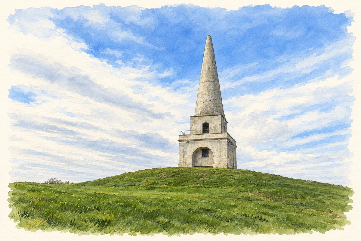
- The obelisk on Killiney Hill, as photographed in 2014 illustration: based on a Mount Mapas Obelisk, Victoria Hill, Killiney by Colin Park. AI-assisted watercolour and ink adaptation; cream paper margins added, incidental clutter omitted and fine details simplified. Licence: CC BY-SA 2.0.
Name record retrieved 2026-10-25 · Source record modified 2011-11-08. How this page was prepared.