Oldtown’s village hall is associated with a national change in rural life, while local memorials and sacred-site traditions preserve other layers of its history.
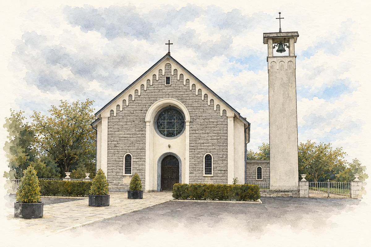
Illustration, Our Lady Queen of Peace Church, Oldtown, County Dublin
⊕Recorded locationOldtown53.52383° N · 6.31798° WInteractive map supplied by OpenStreetMap.
These Irish name elements are associated with this record in the Logainm glossary.
An element’s translation is a clue, rather than a complete explanation of the name. Its form and meaning depend on local history and the full Irish name.
Recorded forms
An Seanbhaile· Irish · main form · validated name
Oldtown· English · main form
Place & story
The corrugated-iron hall
Oldtown Hall is a small late-nineteenth-century building made from corrugated iron, with a projecting entrance porch and carved bargeboards. Timber frames and panelled doors give detail to a structure built from modest prefabricated materials. Such halls were comparatively quick to erect, yet surviving examples are now uncommon. Its continued presence records a form of community architecture easily overlooked beside the village's stone houses and churches.[2]
Rural Area Number One
A formal rural-electrification switch-on took place in Oldtown's hall on 15 January 1947, supervised by engineer W. F. Roe. Oldtown belonged to the ESB's first rural supply area. Martin Quinn's archival research also records an earlier local experiment: Terry White and James Boyle erected a wind turbine behind the village pub in the early 1940s. The national scheme therefore followed local attempts to generate light, replacing a supply dependent on wind with a network serving homes and farms.[3]
People & connections
Molly Weston in local commemoration
Oldtown commemorates Molly Weston, associated in local historical accounts with the United Irish rebellion and the Battle of Tara in 1798. Fingal County Council's visitor account describes her fighting on horseback alongside her brothers. The monument makes that remembered participation visible within the village. The details of her battlefield exploits belong to the received account and should be distinguished from the surviving memorial itself.[4]
Folklore & tradition
Patrick’s stone and the well
Fingal County Council records a tradition attached to a stone outside the old church gate: Saint Patrick was said to have pierced it with his palm to tether his donkey. A neighbouring well was believed to relieve sore throats. These are local sacred-site beliefs preserved in the council's account, rather than archaeological explanations of the stone's perforation or evidence of a medical cure.[4]
Both counts use the 2016 settlement boundary, allowing like-for-like comparison. CSO supplies the 2022 count on this older boundary for comparison only. The official 2022 Built Up Area has different boundaries.
View population figures
Oldtown — Census 2016 settlement footprint — census population
These are the historical areas published in the 2006 census report. Boundaries may differ between censuses and from modern settlements. Legal towns, environs and suburbs are shown separately; none has been combined into a modern settlement total.
View population figures
Oldtown, Fingal — Census town, CSO 2006 report — census population
These figures use different area definitions. Read the boundary note before comparing them.
Oldtown, Fingal
Published census settlement populations
497people · 2016
Settlement boundaries changed during this period. Differences may reflect boundary changes as well as population change. Where a 2011 legal-town-and-environs count is shown, it has not been recalculated onto the 2016 settlement boundary.
Our Lady Queen of Peace Church, Oldtown, County Dublin illustration: based on a Country Church by Raymond Okonski. AI-assisted watercolour and ink adaptation; cream paper margins added, incidental clutter omitted and fine details simplified. Licence: CC BY-SA 2.0.
 placenames