 placenames
Sandymount
Dumhach Thrá
Sandymount’s triangular green, nineteenth-century houses and coastal defences preserve different stages of Dublin’s seaside expansion.
The name
These Irish name elements are associated with this record in the Logainm glossary.
An element’s translation is a clue, rather than a complete explanation of the name. Its form and meaning depend on local history and the full Irish name.
Recorded forms
- Dumhach Thrá · Irish · main form · validated name
- Sandymount · English · main form
Place & story
The green and a poet’s birthplace
Sandymount Green was laid out and enclosed with railings in the early nineteenth century. The Corbett family planted its perimeter horse chestnuts during that century, and Dublin Corporation took it over as a public park in the 1960s. A bust commemorates William Butler Yeats, born nearby at No. 5 Sandymount Avenue. The poet’s memorial stands within a small triangular space that continues to anchor the village, connecting a particular birthplace with the houses, trees and public ground around it. [2]
Railway growth and varied streets
The Dublin–Kingstown railway of 1834 encouraged Sandymount’s expansion, connecting its seaside setting with the growing city. Houses already surrounded the green on the first-edition Ordnance Survey map. Later building produced a varied streetscape rather than a single architectural pattern: some houses open directly onto the street, while others stand behind gardens. Christ Church, built in 1864 on the green’s eastern side, joined this evolving village centre. Sandymount remained a holiday destination into the 1920s, valued for sea air and bathing. [3]
Defence and bathing on the strand
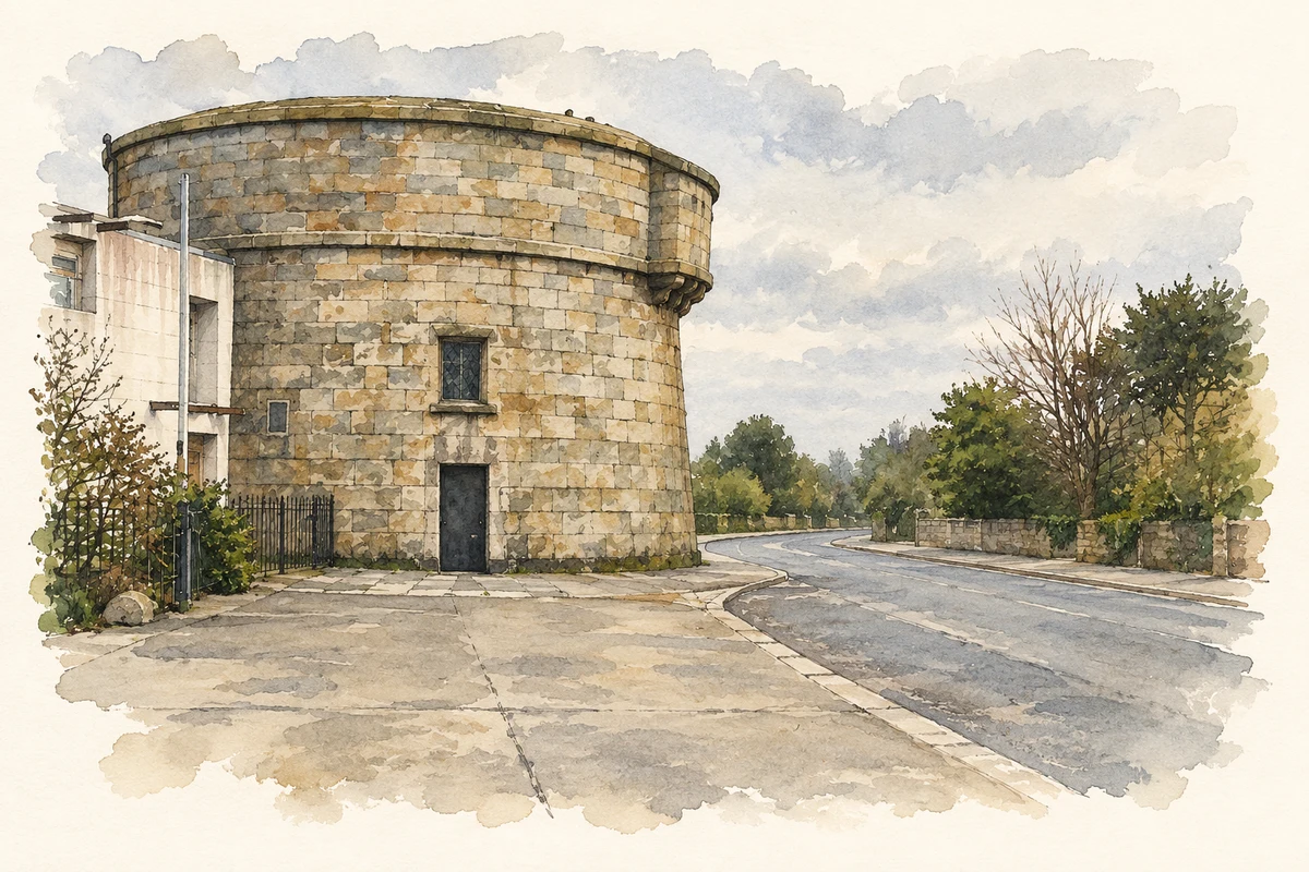
Sandymount’s Martello tower dates from 1805, when coastal defences were built against a feared Napoleonic invasion. It accommodated two cannons, making it larger than many neighbouring towers. Later, the same strand became a place for organised recreation: the Merrion swimming baths opened in 1883, reached by a pier from the promenade. The pier closed in 1923, leaving concrete walls on the beach. These survivals record two very different uses of the shore, from military observation to sea bathing. [4]
Geographic information
- Place type
- Population centre
- County
- Dublin
- Barony
- Dublin
- Civil parish
- Donnybrook
- Within
- Sandymount
- Coordinates
- 53.32511, -6.22882 (approximate)
- Logainm ID
- 1412159 ↗
Sources & further reading
- Logainm.ie — Sandymount. Place names and geographic record, licensed under CC BY 4.0.
- Sandymount Green · Dublin City Council
- Sandymount Village and Environs Architectural Conservation Area Report, adopted 2 September 2013 · Dublin City Council
- Sandymount Walking Trail Map and Guide 2021 · Dublin City Council
- Martello Tower on Sandymount Strand, Dublin illustration: based on a Martello Tower on Sandymount Strand by Doug Lee. AI-assisted watercolour and ink adaptation; cream paper margins added, incidental clutter omitted and fine details simplified. Licence: CC BY-SA 2.0.
Name record retrieved 2026-10-25 · Source record modified 2012-04-05. How this page was prepared.