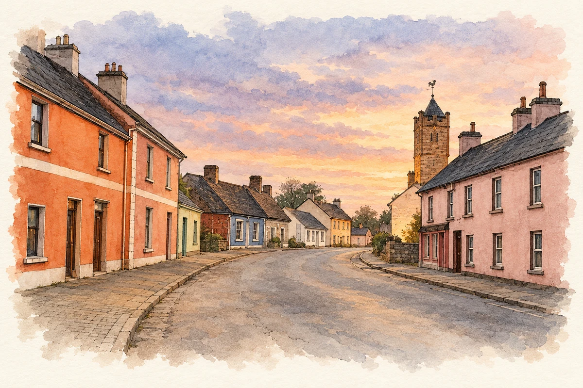
Keenagh's village clock commemorates a nineteenth-century landowner, while nearby Corlea preserves an oak roadway laid more than two thousand years earlier.
Illustration, Main Street and clock tower, Keenagh
⊕Recorded locationKeenagh53.62170° N · 7.81376° WInteractive map supplied by OpenStreetMap.
A reliable full-name meaning has not been established here. The recorded Irish and English forms are given without an unsupported translation.
Recorded forms
Caonach· Irish · main form · validated name
Keenagh· English · main form
Kenagh· English · main form · local name
Place & story
People & connections
The village's memorial clock
The clock tower at Keenagh's central junction dates from 1878 and commemorates Laurence King-Harman, who died in 1875. Friends and tenants subscribed to the memorial. Designed by the architect Robert William Edis, it combines a square stone tower, battlements, a steep roof and a marble portrait bust. John Moore and Sons of Clerkenwell supplied the clock, while John Taylor and Company of Loughborough cast the bell. The monument therefore brings the work of several specialist firms into a conspicuous village landmark, with its clock and weather vane visible from surrounding approaches.[2]
A countess's church
Saint George's Church was built in 1832 under the patronage of Jane, Dowager Countess of Rosse, to designs by William Farrell. Its carved limestone pinnacles and unusual side projections make it more elaborate than many contemporary rural churches. A memorial pulpit commemorating the Reverend J. J. Hayes was added around 1895, designed by Richard Langrishe and executed by C. W. Harrison and Sons of Dublin. The adjacent school, graveyard, gates and boundary walls form a wider group of buildings and features associated with the Church of Ireland community.[3]
The oak roadway at Corlea
About three kilometres from Keenagh, the Corlea trackway was built in 148 BC from heavy oak planks laid across wet ground. The road sank into the peat after a short period of use, which helped preserve its timber for more than two millennia. An eighteen-metre section is conserved inside a specially designed hall at the visitor centre. Its local name, the Danes' Road, belongs to later memory: the structure itself is Iron Age. The enormous effort required to build it demonstrates the importance of crossing this bogland long before modern roads or canals.[4]
Both counts use the 2016 settlement boundary, allowing like-for-like comparison. CSO supplies the 2022 count on this older boundary for comparison only. The official 2022 Built Up Area has different boundaries.
View population figures
Keenagh — Census 2016 settlement footprint — census population
These are the historical areas published in the 2006 census report. Boundaries may differ between censuses and from modern settlements. Legal towns, environs and suburbs are shown separately; none has been combined into a modern settlement total.
View population figures
Keenagh, Longford — Census town, CSO 2006 report — census population
These are the historical areas published in the 1996 census report. Boundaries may differ between censuses and from modern settlements. Legal towns, environs and suburbs are shown separately; none has been combined into a modern settlement total.
View population figures
Keenagh, Longford — Census town, CSO 1996 report — census population
Figures cover the historical town area printed in the 1986 report. Boundaries may have changed between censuses. Legal town, environs and suburb totals remain separate and differ from modern settlement boundaries.
View population figures
Keenagh, Longford — Census town, CSO 1986 report — census population
These figures use different area definitions. Read the boundary note before comparing them.
Keenagh, Longford
Published census settlement populations
581people · 2016
Settlement boundaries changed during this period. Differences may reflect boundary changes as well as population change. Where a 2011 legal-town-and-environs count is shown, it has not been recalculated onto the 2016 settlement boundary.
Main Street and distant clock tower, Keenagh illustration: based on a Keenagh, County Longford by Sarah777. AI-assisted watercolour and ink adaptation; cream paper margins added, incidental clutter omitted and fine details simplified. Licence: CC BY-SA 2.0.
 placenames