These Irish name elements are associated with this record in the Logainm glossary.
An element’s translation is a clue, rather than a complete explanation of the name. Its form and meaning depend on local history and the full Irish name.
Recorded forms
Dún Léire· Irish · main form · validated name
Dunleer· English · main form
Place & story
A town recorded in its own minutes
Dunleer's surviving corporation minute book covers 1709–1773. Louth County Archives' catalogue explains that earlier minutes from the corporation's formation in 1683 are missing, and that the surviving volume appears to be a later copy rather than the original entries. The catalogue also traces a weekly market and annual three-day fair to a royal grant of 1252. These records provide different views of the settlement: medieval trading privileges and the later workings of its local governing body.[2]
A colourful Victorian station
Dunleer railway station's 1881 building was designed by N. A. Mills. Its red and yellow brickwork, shaped window surrounds and decorative timber distinguish it from a plain utility building. The National Inventory of Architectural Heritage also records a canopy supported on iron brackets and pierced timber bargeboards. Those details made the station an architectural landmark as well as a point of departure, reflecting the care invested in railway buildings during the Victorian period.[3]
People & connections
Pádraig Faulkner and local history
Pádraig Faulkner grew up in Dunleer and represented Louth in the Dáil from 1957 to 1987. Parliamentary tributes in 2013 remembered both his ministerial career and his work researching the village's past after retirement. With his son Tom, he helped preserve local historical information in electronic form. That contribution gives his Dunleer connection a dimension beyond national politics: he was also involved in recording the community in which he had grown up.[4]
Folklore & tradition
Queen Medb’s remembered gap
At Barmeath, east of Dunleer, the Ordnance Survey Letters of 1836 recorded a tradition connecting the name with Queen Medb's gap. A Louth heritage guide discusses this as a possible clue to the remembered route of the Táin. It also notes that Barmeath does not appear in the surviving text versions of the epic. The association is therefore evidence of local storytelling about the landscape, not proof that the legendary army followed a particular road.[5]
Both counts use the 2016 settlement boundary, allowing like-for-like comparison. CSO supplies the 2022 count on this older boundary for comparison only. The official 2022 Built Up Area has different boundaries.
View population figures
Dunleer — Census 2016 settlement footprint — census population
These are the historical areas published in the 2006 census report. Boundaries may differ between censuses and from modern settlements. Legal towns, environs and suburbs are shown separately; none has been combined into a modern settlement total.
View population figures
Dunleer, Louth — Census town, CSO 2006 report — census population
These are the historical areas published in the 1996 census report. Boundaries may differ between censuses and from modern settlements. Legal towns, environs and suburbs are shown separately; none has been combined into a modern settlement total.
View population figures
Dunleer, Louth — Census town, CSO 1996 report — census population
Figures cover the historical town area printed in the 1986 report. Boundaries may have changed between censuses. Legal town, environs and suburb totals remain separate and differ from modern settlement boundaries.
View population figures
Dunleer, Louth — Census town, CSO 1986 report — census population
These figures use different area definitions. Read the boundary note before comparing them.
Dunleer, Louth
Published census settlement populations
1,822people · 2016
Settlement boundaries changed during this period. Differences may reflect boundary changes as well as population change. Where a 2011 legal-town-and-environs count is shown, it has not been recalculated onto the 2016 settlement boundary.
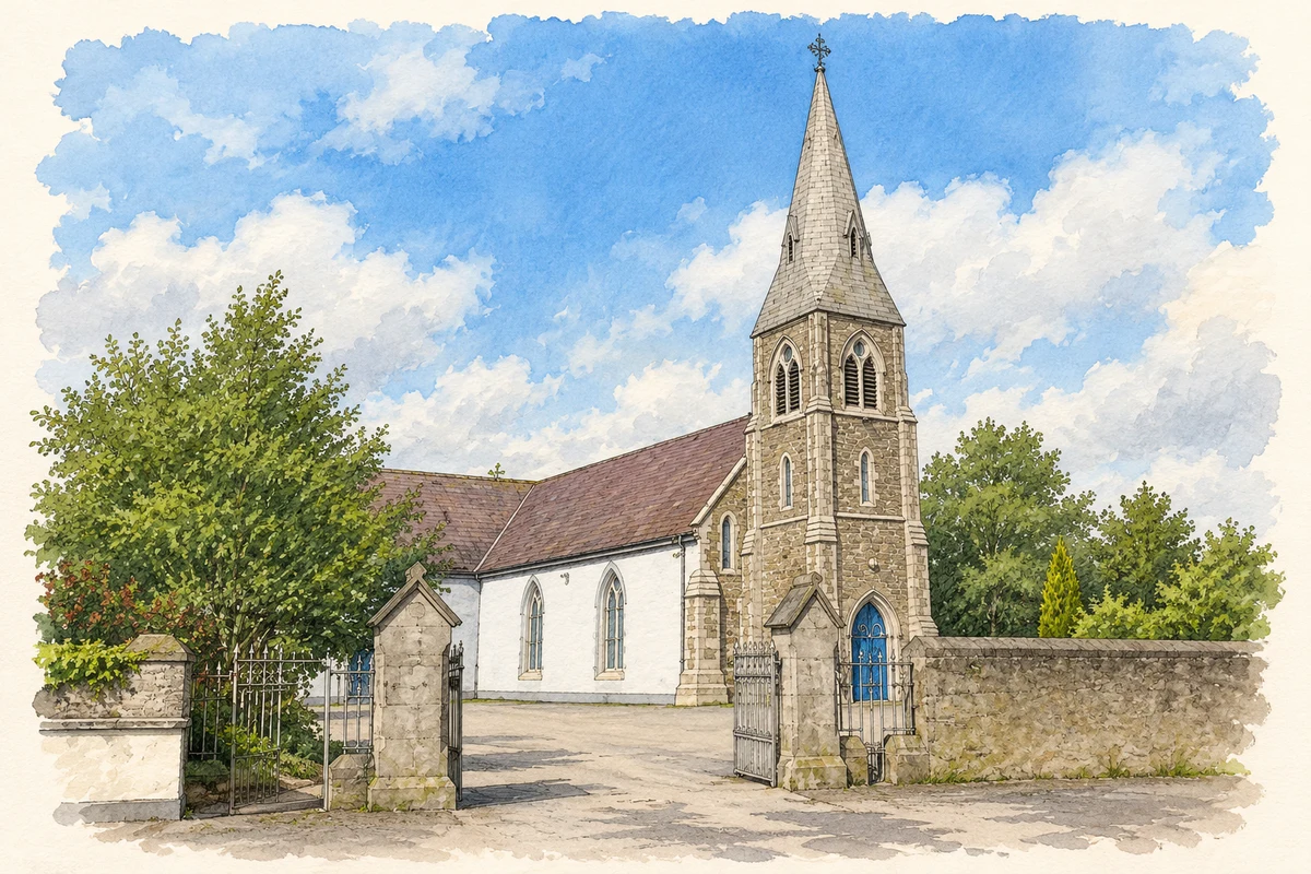
St Brigid's Church, Dunleer illustration: based on a St. Brigid's Church, Dunleer, Co. Louth by Kieran Campbell. AI-assisted watercolour and ink adaptation; cream paper margins added, incidental clutter omitted and fine details simplified. Licence: CC BY-SA 2.0.
 placenames