Ballycastle in north Mayo connects a nineteenth-century coastal village with the discovery of the Céide Fields and stories told about nearby Downpatrick Head.
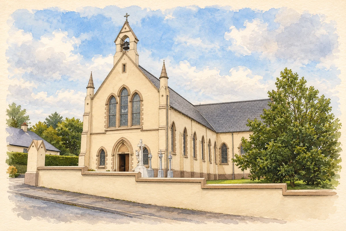
Illustration, Ballycastle church, County Mayo
⊕Recorded locationBallycastle54.27828° N · 9.36656° WInteractive map supplied by OpenStreetMap.
These Irish name elements are associated with this record in the Logainm glossary.
An element’s translation is a clue, rather than a complete explanation of the name. Its form and meaning depend on local history and the full Irish name.
Recorded forms
Baile an Chaisil· Irish · main form · validated name
Ballycastle· English · main form
Place & story
A village preparing for the coast road
In 1837 Samuel Lewis described Ballycastle's view towards Downpatrick Head and its potential as a sea-bathing resort. New houses had been built, a market place was under construction and a road through the mountains towards Belmullet was being made. Six annual fairs, weekly petty sessions and a penny post to Killala served the surrounding district. His account captures a coastal village investing in buildings and connections, with both agricultural trade and visiting bathers contributing to its prospects.[2]
People & connections
Patrick and Séamus Caulfield's buried landscape
At Belderrig, west of Ballycastle, schoolteacher Patrick Caulfield noticed stone walls beneath the bog while cutting turf in the 1930s. Their position below the peat suggested that they belonged to a much older landscape. His son Séamus later pursued the archaeological investigation that revealed the Céide Fields: field walls, houses and tombs more than five thousand years old. Research traced the hidden walls by probing through the peat. In 1989 Séamus Caulfield, Martin Downes and a local committee began the visitor-centre project; the OPW-designed centre opened in May 1993.[3]
Folklore & tradition
A Ballycastle storyteller's Crom Dubh
Douglas Hyde recorded St Patrick and Crom Dubh from Michael Mac Ruaidhri of Ballycastle. In this version, Crom Dubh lives at Downpatrick Head and opposes the saint with fierce dogs and a great fire. Patrick subdues the dogs, quenches the fire and strikes the cliff with his crozier, separating Crom's dwelling from the mainland to form Dún Briste. The tale also links Patrick's victory with a yearly well pilgrimage. Its named Ballycastle storyteller gives this dramatic account a specific local voice.[4]
Both counts use the 2016 settlement boundary, allowing like-for-like comparison. CSO supplies the 2022 count on this older boundary for comparison only. The official 2022 Built Up Area has different boundaries.
View population figures
Ballycastle — Census 2016 settlement footprint — census population
These are the historical areas published in the 2006 census report. Boundaries may differ between censuses and from modern settlements. Legal towns, environs and suburbs are shown separately; none has been combined into a modern settlement total.
View population figures
Ballycastle, Mayo — Census town, CSO 2006 report — census population
These are the historical areas published in the 1996 census report. Boundaries may differ between censuses and from modern settlements. Legal towns, environs and suburbs are shown separately; none has been combined into a modern settlement total.
View population figures
Ballycastle, Mayo — Census town, CSO 1996 report — census population
Figures cover the historical town area printed in the 1986 report. Boundaries may have changed between censuses. Legal town, environs and suburb totals remain separate and differ from modern settlement boundaries.
View population figures
Ballycastle, Mayo — Census town, CSO 1986 report — census population
These figures use different area definitions. Read the boundary note before comparing them.
Ballycastle, Mayo
Published census settlement populations
219people · 2016
Settlement boundaries changed during this period. Differences may reflect boundary changes as well as population change. Where a 2011 legal-town-and-environs count is shown, it has not been recalculated onto the 2016 settlement boundary.
 placenames