Bangor Erris grew at a meeting of routes beside the Owenmore. Its bridge and the old trail towards Newport preserve that importance as a crossing place.
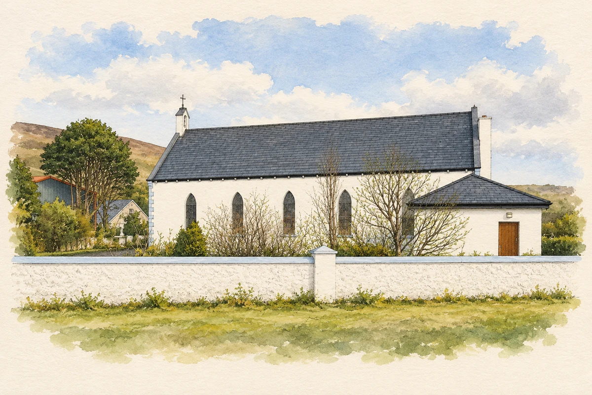
Illustration, Sacred Heart Church, Bangor Erris
⊕Recorded locationBangor54.14471° N · 9.74304° WInteractive map supplied by OpenStreetMap.
A reliable full-name meaning has not been established here. The recorded Irish and English forms are given without an unsupported translation.
Recorded forms
Baingear· Irish · main form · validated name
Bangor· English · main form
Bangor Erris· English · main form · local name
Place & story
A village serving travellers and traders
Samuel Lewis's 1837 description places Bangor on the Castlebar–Belmullet road, with two inns, a constabulary station and the Catholic chapel of East Kilcommon. Its fairs extended across the year, evidence of a settlement serving a wider rural district. He also noted a Bingham shooting lodge nearby and the salmon and trout of Carrowmore Lake. This was a small service centre where road travel, livestock trading and the surrounding sporting landscape met.[2]
The Owenmore bridge
Bangor Bridge carries the road across the Owenmore on four segmental arches. The National Inventory of Architectural Heritage records a nineteenth-century structure with later repairs and tentatively attributes its design to county surveyor Henry Brett. Triangular cutwaters face the river, while carefully dressed limestone marks the arch rings and parapets. A surviving Ordnance Survey benchmark adds a reminder that the bridge also formed part of the measured landscape of nineteenth-century mapping.[3]
The old route through the mountains
The Bangor Trail preserves an older road through the Nephin Beg mountains towards Newport. Wild Nephin National Park's guide describes it as a former principal route, used before the present road network changed the area's connections. The full route reaches almost 39 kilometres, although a shorter section ends at Letterkeen. Its rough, often wet ground helps explain why a mountain journey here demanded time and preparation. The trail places Bangor within a longer history of movement through the uplands, alongside its better-known river and road crossing.[4]
Both counts use the 2016 settlement boundary, allowing like-for-like comparison. CSO supplies the 2022 count on this older boundary for comparison only. The official 2022 Built Up Area has different boundaries.
View population figures
Bangor Erris — Census 2016 settlement footprint — census population
These are the historical areas published in the 2006 census report. Boundaries may differ between censuses and from modern settlements. Legal towns, environs and suburbs are shown separately; none has been combined into a modern settlement total.
View population figures
Bangor Erris, Mayo — Census town, CSO 2006 report — census population
These are the historical areas published in the 1996 census report. Boundaries may differ between censuses and from modern settlements. Legal towns, environs and suburbs are shown separately; none has been combined into a modern settlement total.
View population figures
Bangor Erris, Mayo — Census town, CSO 1996 report — census population
Figures cover the historical town area printed in the 1986 report. Boundaries may have changed between censuses. Legal town, environs and suburb totals remain separate and differ from modern settlement boundaries.
View population figures
Bangor Erris, Mayo — Census town, CSO 1986 report — census population
These figures use different area definitions. Read the boundary note before comparing them.
Bangor Erris, Mayo
Published census settlement populations
306people · 2016
Settlement boundaries changed during this period. Differences may reflect boundary changes as well as population change. Where a 2011 legal-town-and-environs count is shown, it has not been recalculated onto the 2016 settlement boundary.
 placenames