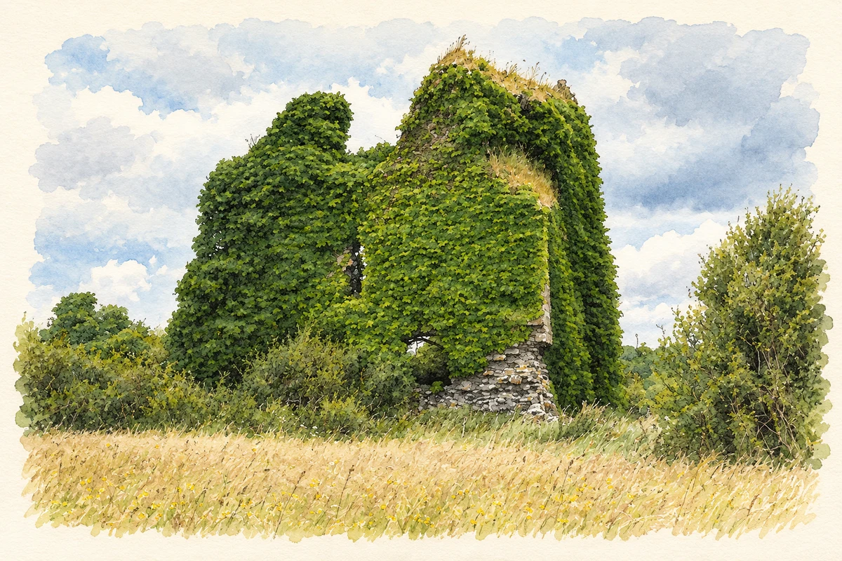
Bellavary, also commonly written Ballyvary, developed beside a river crossing on the Castlebar–Swinford road. Its market history and surviving mill remains explain the village's importance to the surrounding countryside.
Illustration of the ivy-covered ruins of Carn Castle near Bellavary.
⊕Recorded locationBellavary53.89474° N · 9.15141° WInteractive map supplied by OpenStreetMap.
These Irish name elements are associated with this record in the Logainm glossary.
An element’s translation is a clue, rather than a complete explanation of the name. Its form and meaning depend on local history and the full Irish name.
Recorded forms
Béal Átha Bhearaigh· Irish · main form · validated name
Bellavary· English · main form
Ballyvary· English · main form
Place & story
A Wednesday market
In 1837 Samuel Lewis described Ballyvary as a market town on the road from Castlebar to Swinford, near a small river flowing from Lough Cullen. Wednesday was market day, with fairs on 29 May,18 August and 14 November. A constabulary station served the town. Its Catholic chapel occupied a site supplied by the Reverend L. Rutledge of Bloomfield. These details show a settlement with regular commercial and administrative functions, drawing people from farms beyond the short village street.[2]
William Malley's mill
The three-storey mill was reconstructed by William Malley and was standing by 1859. Malley was bankrupted in 1862, but the building's industrial history continued: the architectural survey records it in use in 1945. Its surviving shell retains window openings framed in contrasting red or yellow brick. The roof has disappeared and ivy covers much of the masonry. The substantial building marks the scale of an enterprise which needed both storage space and a carefully managed water supply.[3]
Reading the millponds and the Castle Park field
Archaeological testing in 2009 examined ground south of the mill where local historical accounts had suggested a castle site. The apparent stony bank proved to contain burnt limestone associated with a small limekiln. The investigation also documented the mill's water-management landscape: ponds created after 1838, a massive dam wall and slots interpreted as controls for an older mill-race. The road to Balla, laid out in 1884, crossed the southern end of the dam. Water still overflowed along that route until around 1980, leaving traces of industrial use well beyond the mill walls.[4]
Both counts use the 2016 settlement boundary, allowing like-for-like comparison. CSO supplies the 2022 count on this older boundary for comparison only. The official 2022 Built Up Area has different boundaries.
View population figures
Bellavary — Census 2016 settlement footprint — census population
These are the historical areas published in the 2006 census report. Boundaries may differ between censuses and from modern settlements. Legal towns, environs and suburbs are shown separately; none has been combined into a modern settlement total.
View population figures
Bellavary, Mayo — Census town, CSO 2006 report — census population
These figures use different area definitions. Read the boundary note before comparing them.
Bellavary, Mayo
Published census settlement populations
159people · 2016
Settlement boundaries changed during this period. Differences may reflect boundary changes as well as population change. Where a 2011 legal-town-and-environs count is shown, it has not been recalculated onto the 2016 settlement boundary.
 placenames