 placenames
Dungarvan
Dún Garbháin
This inland Dungarvan preserves a medieval motte, a ruined church and records of a small roadside hamlet.
The name
These Irish name elements are associated with this record in the Logainm glossary.
An element’s translation is a clue, rather than a complete explanation of the name. Its form and meaning depend on local history and the full Irish name.
Recorded forms
- Dún Garbháin · Irish · main form · validated name
- Dungarvan · English · main form
Place & story
A medieval borough and its motte
Dungarvan in County Kilkenny was a small medieval manor that acquired borough status. The national urban archaeology survey records references to burgage property around 1330. At the western end of the village it describes a steep-sided motte, about six metres high, south of the road. A Marian grotto was cut into its northern side in 1954, adding a twentieth-century devotional feature to the earlier earthwork. [2]
The church’s stepped tower
The ruined Church of Ireland building dates from 1812 and was supported by the Board of First Fruits. Its four-stage western tower narrows as it rises, with cut-stone bands marking each level and battlements above. The architectural survey highlights the surrounding graveyard's carved markers, including late-medieval stones that indicate an older ecclesiastical site. The entrance gates carry an 1818 date, adding another dated element to the group. [3]
The hamlet before the Famine
Samuel Lewis counted seventy-five people in Dungarvan's hamlet in 1837, within a much larger rural parish. His account places it on the Dublin–Waterford road and records a constabulary station. The parish had a school supported by the incumbent and three fee-paying schools. Those educational figures describe the wider parish, while the small hamlet population gives a more precise sense of the settlement itself. [4]
Geographic information
Sources & further reading
- Logainm.ie — Dungarvan. Place names and geographic record, licensed under CC BY 4.0.
- County Kilkenny Urban Archaeology Survey 1993: Dungarvan, p131 · National Monuments Service
- Dungarvan Church: NIAH 12313002 · National Inventory of Architectural Heritage
- Dungarvan, Kilkenny: A Topographical Dictionary of Ireland 1837 · Samuel Lewis; Library Ireland
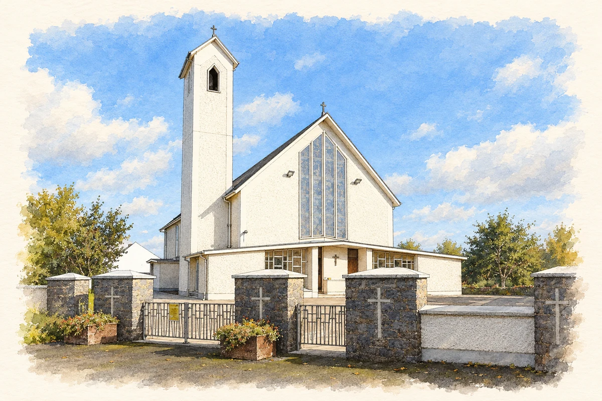
- Church of St Michael and St David, Dungarvan, County Kilkenny illustration: based on a Church of St. Michael & St. David, Dungarvan, Co. Kilkenny by P L Chadwick. AI-assisted watercolour and ink adaptation; cream paper margins added, incidental clutter omitted and fine details simplified. Licence: CC BY-SA 2.0.
Name record retrieved 2026-10-25 · Source record modified 2011-11-24. How this page was prepared.