These Irish name elements are associated with this record in the Logainm glossary.
An element’s translation is a clue, rather than a complete explanation of the name. Its form and meaning depend on local history and the full Irish name.
Recorded forms
An Fhorrach Mhór· Irish · main form · validated name
Narraghmore· English · main form
Place & story
The courthouse attack in 1798
Narraghmore was caught up in the opening of the 1798 rebellion. The local history federation records a United Irish attack on the courthouse on 24 May, initially resisted by loyalists under John Jefferies. The defenders then withdrew to Jefferies's house, which the rebels set alight. The account identifies the later Old Post Office as occupying the courthouse site, connecting a village landmark with a violent episode in the rebellion.[2]
The destruction of Narraghmore House
The conflict also reached the neighbouring estate. On 27 May 1798, troops commanded by Colonel Campbell destroyed Colonel Keating's mansion at Narraghmore. The federation describes Keating as a liberal landlord suspected of involvement with the United Irishmen. A surviving gateway is identified in its illustrated account as a remnant of Narraghmore House. Suspicion of involvement should not be read as proof of Keating's participation.[2]
The estate chapel
The Church of the Holy Saviour in Narraghmore Demesne was built in 1860–63 as an estate chapel and subsequently served as a parish Church of Ireland church. Limestone walls contrast with granite dressings, including buttresses and carved window surrounds. Its compact Gothic design includes a projecting porch and an unusual turret supported above the western gable, topped by a small spire. The architectural inventory highlights the craftsmanship of its stonework.[3]
Both counts use the 2016 settlement boundary, allowing like-for-like comparison. CSO supplies the 2022 count on this older boundary for comparison only. The official 2022 Built Up Area has different boundaries.
View population figures
Narraghmore — Census 2016 settlement footprint — census population
These figures use different area definitions. Read the boundary note before comparing them.
Narraghmore, Kildare
Published census settlement populations
378people · 2016
Settlement boundaries changed during this period. Differences may reflect boundary changes as well as population change. Where a 2011 legal-town-and-environs count is shown, it has not been recalculated onto the 2016 settlement boundary.
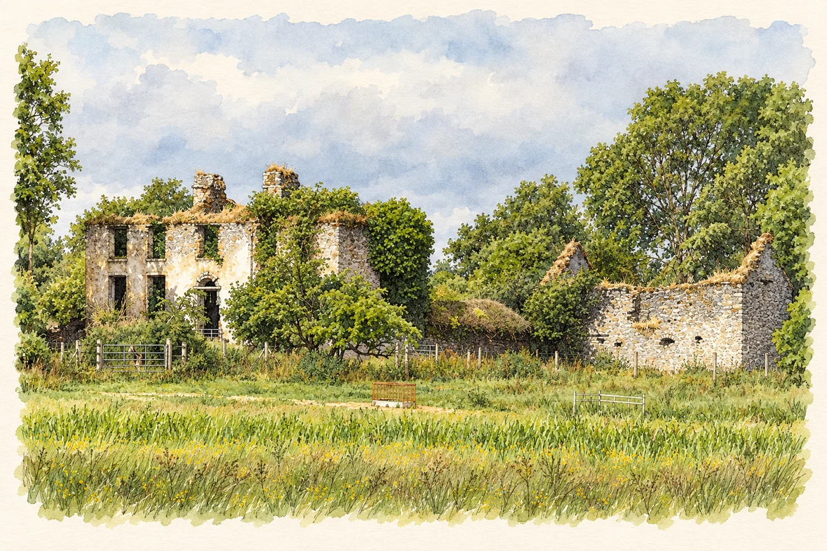
Battlemount House ruin near Narraghmore, County Kildare illustration: based on a Battlemount House, Narraghmore, Co. Kildare (1) by Mike Searle. AI-assisted watercolour and ink adaptation; cream paper margins added, incidental clutter omitted and fine details simplified. Licence: CC BY-SA 2.0.
 placenames