 placenames
Ballymurphy
Baile Uí Mhurchú
Ballymurphy’s church and nearby rock art preserve different kinds of craftsmanship, while Patrick Breen connects the area with California’s history.
The name
These Irish name elements are associated with this record in the Logainm glossary.
An element’s translation is a clue, rather than a complete explanation of the name. Its form and meaning depend on local history and the full Irish name.
Recorded forms
- Baile Uí Mhurchú · Irish · main form · validated name
- Ballymurphy · English · main form
Place & story
Granite and a replacement bell
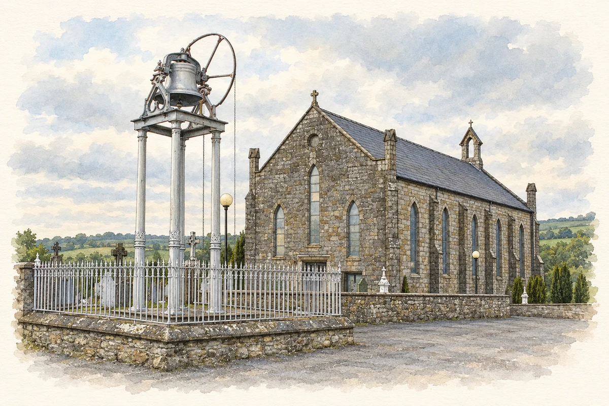
Saint Patrick's Church preserves local stoneworking in its hammer-dressed granite. The parish records its construction under Father Christopher Doyle and later changes to its fittings. Its original bell was moved to the school grounds beside Borris church; a replacement, presented by a Ballymurphy native in the bell-founding trade, was erected on an iron tower in 1914. New roofing and internal alterations followed in 1987. [2]
Rock art in the surrounding hills
A decorated granite boulder found at Knockmore was examined by Carlow County Museum and the National Monuments Section in 2006–07. Its cup-and-ring designs connect it with other carved stones nearby. From its original location, the investigators could see the area of the Rathgeran stone and the valley leading towards Crannagh. Their account stresses the relationships between these places while leaving the meaning of the carvings unresolved. [3]
A connection with the Donner Party
Borris Parish identifies Patrick Breen of nearby Barnahasken as a local emigrant connected with the Donner Party disaster. His diary, now held by Berkeley's Bancroft Library, records the family's ordeal in the Sierra Nevada between November 1846 and March 1847. The manuscript describes weather, dwindling food and the condition of other travellers. It gives this Carlow association an unusually direct surviving record of nineteenth-century migration and survival. [2] [4]
Geographic information
- Place type
- Population centre
- County
- Carlow
- Barony
- Saint Mullin's Lower
- Civil parish
- Saint Mullin's
- Within
- Ballymurphy
- Within
- Ballymurphy
- Coordinates
- 52.57792, -6.86401 (approximate)
- Logainm ID
- 1412381 ↗
Sources & further reading
- Logainm.ie — Ballymurphy. Place names and geographic record, licensed under CC BY 4.0.
- St Patrick’s Church, Ballymurphy · Borris Parish
- Rock Art at Knockmore, Ballymurphy, Carloviana 2007 · Chris Corlett and Dermot Mulligan, Carloviana
- Patrick Breen Diary: collection guide · The Bancroft Library, University of California, Berkeley
- St Patrick's Church, Ballymurphy illustration: based on a Ballymurphy Church by liam murphy. AI-assisted watercolour and ink adaptation; cream paper margins added, incidental clutter omitted and fine details simplified. Licence: CC BY-SA 2.0.
Name record retrieved 2026-10-25 · Source record modified 2025-01-10. How this page was prepared.