 placenames
Killerrig
Cill Dheirge
A surviving church gable and records of the Knights Hospitaller preserve an older history around Killerrig’s crossroads.
The name
These Irish name elements are associated with this record in the Logainm glossary.
An element’s translation is a clue, rather than a complete explanation of the name. Its form and meaning depend on local history and the full Irish name.
Recorded forms
- Cill Dheirge · Irish · main form · validated name
- Killerrig · English · main form
Place & story
The Hospitallers at Killerig
The medieval religious house at Killerrig is often associated with the Knights Templar, but local historian Thomas Clarke challenged that account in his 1968 study. He pointed to a papal confirmation of 1212 naming the brethren of the Hospital of Saint John of Jerusalem, and a 1303 record concerning a brother of the hospital at Killerge. These documents place the Hospitallers here before the suppression of the Templars. [2]
A chapel and its chaplain
Clarke examined the Kilmainham register with translations supplied by P. J. McGrath. A grant of 1327 provided Nicholas O’Shea, a chaplain, with maintenance, a room and an annual payment for celebrating Mass in the chapel. It reveals something of the institution’s everyday arrangements. [2]
Church ruins north of the crossroads
Writing in 1968, Clarke described the old church’s surviving east gable and its pointed window. He reported that John Humphrey of Dublin had demolished the rest in 1808 to make a family burial place. The county council’s 2005 Grange–Killerig planning map separately marks the ruined church, graveyard and Saint John the Baptist’s Preceptory north of Killerrig Cross Roads, keeping these older sites distinct from the crossroads itself. [2] [3]
Geographic information
Sources & further reading
- Logainm.ie — Killerrig. Place names and geographic record, licensed under CC BY 4.0.
- Killerig and District, Carloviana 17 (1968), page 21 · Thomas Clarke / Carlow Historical and Archaeological Society
- Grange / Killerig Local Area Plan: land-use zoning map, 13 June 2005 · Carlow County Council
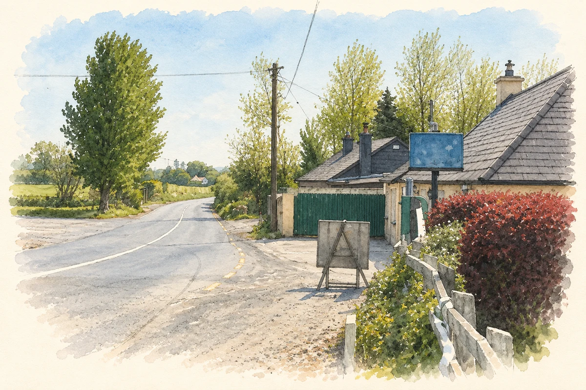
- The crossroads at Killerrig, as photographed in 2007 illustration: based on a Killerig, County Carlow by Sarah777. AI-assisted watercolour and ink adaptation; cream paper margins added, incidental clutter omitted and fine details simplified. Licence: CC BY-SA 2.0.
Name record retrieved 2026-10-25 · Source record modified 2025-01-10. How this page was prepared.