Rathtoe, also written Rathoe, preserves a nineteenth-century school building whose later community use complements the craftsmanship of the church opposite.
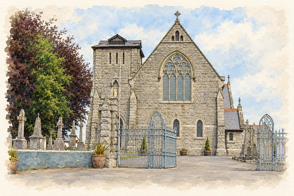
Illustration of Saint Patrick's Catholic Church, Rathtoe, County Carlow, based on the 2009-07-03 reference photograph.
⊕Recorded locationRathtoe52.78661° N · 6.79833° WInteractive map supplied by OpenStreetMap.
These Irish name elements are associated with this record in the Logainm glossary.
An element’s translation is a clue, rather than a complete explanation of the name. Its form and meaning depend on local history and the full Irish name.
Recorded forms
Ráth Tó· Irish · main form · validated name
Rathtoe· English · main form
Rathoe· English · main form · local name
Place & story
The schoolhouse of 1837
Rathoe's national school was founded in 1837 in the two-storey stone building opposite Saint Patrick's Church. A new school opened in 1968, but some classes continued in the old premises until 1972. The school's history makes that overlap clear. Local historian Seamus Hogan describes the original arrangement of one classroom above another, initially separating boys and girls before the rooms were divided between younger and older pupils.[2][3]
People & connections
Restoring the hall’s diamond windows
The former school became a parish hall, with sports facilities added behind it. When replacement windows were needed in 2006, the committee commissioned joinery resembling the building's original diamond-pane design. Pat Rudkin Joinery of Bagenalstown made them, Ted Cole installed them and John Carroll painted them. Hogan records fundraising by more than thirty volunteers at the 2006 ploughing championships. The restoration joins named local craftspeople with voluntary effort, keeping a former classroom building in community use.[3]
Builders and carvers at Saint Patrick’s
The foundation stone of the present Saint Patrick's Church was laid on 17 May 1885, with construction continuing into 1889. The Dictionary of Irish Architects identifies Daniel Carberry of Athy as builder and James Quinn of Ballon as designer and maker of a carved oak altar. The Gothic Revival church has transepts, a polygonal apse and a truncated tower. Its documented makers connect the village with regional building trades and the skilled production of church furnishings.[4][5]
Both counts use the 2016 settlement boundary, allowing like-for-like comparison. CSO supplies the 2022 count on this older boundary for comparison only. The official 2022 Built Up Area has different boundaries.
View population figures
Rathtoe — Census 2016 settlement footprint — census population
These figures use different area definitions. Read the boundary note before comparing them.
Rathtoe, Carlow
Published census settlement populations
304people · 2016
Settlement boundaries changed during this period. Differences may reflect boundary changes as well as population change. Where a 2011 legal-town-and-environs count is shown, it has not been recalculated onto the 2016 settlement boundary.
Saint Patrick's Catholic Church, Rathtoe, County Carlow illustration: based on a St Patrick's church: Rathoe, Co. Carlow by Dylan Moore. AI-assisted watercolour and ink adaptation; cream paper margins added, incidental clutter omitted and fine details simplified. Licence: CC BY-SA 2.0.
 placenames