 placenames
Ballynacally
Baile na Caillí
A village beside the Fergus estuary, Ballynacally linked farm produce with Limerick and gave the scholar T. R. Henn part of his formative landscape.
The name
These Irish name elements are associated with this record in the Logainm glossary.
An element’s translation is a clue, rather than a complete explanation of the name. Its form and meaning depend on local history and the full Irish name.
Recorded forms
- Baile na Caillí · Irish · main form · validated name
- Ballynacally · English · main form
Place & story
A quay serving the countryside
Samuel Lewis’s 1837 account describes Ballynacally’s small quay as an outlet for corn, butter, pork and other farm produce sent to Limerick in boats of ten or twelve tons. Limestone and sea manure arrived for use in the surrounding countryside. Alongside this river trade, the village had a dispensary, a daily penny post to Ennis and Kilrush, and three annual cattle fairs. These details show how its road and water connections supported a much wider farming district. [2]
T. R. Henn and Paradise Hill
The literary scholar Thomas Rice Henn moved with his family to Paradise Hill in 1913. Born in Sligo in 1901, he spent part of his boyhood among the Clare countryside and waterways, learning to shoot, fish, row and sail. He later became a Cambridge academic and a leading interpreter of Yeats, publishing The Lonely Tower in 1950. His autobiography, Five Arches, took its title from a five-arched bridge in Clare, and he linked his understanding of Yeats and Synge with his rural upbringing. [3]
A shrine built by volunteers
The Lourdes shrine at Ballynacally was built through voluntary labour. A local parish history records its blessing by Bishop Rodgers on 27 September 1958, following a Mass at Ballycorick Church and a procession to the shrine. Children from the parish’s seven schools sang at the Mass. Fifty years later, a commemorative Mass was held on 2 May 2008 in the GAA grounds overlooking the shrine, marking both its construction and the continuing work of its voluntary caretakers. [4]
Geographic information
- Place type
- Population centre
- County
- Clare
- Barony
- Clonderalaw
- Civil parish
- Kilchreest
- Within
- Ballynacally
- Coordinates
- 52.72238, -9.06573 (approximate)
- Logainm ID
- 1412539 ↗
Sources & further reading
- Logainm.ie — Ballynacally. Place names and geographic record, licensed under CC BY 4.0.
- Rosscliff: the port of Ballynacally? — reproducing Samuel Lewis, 1837 · Irish Waterways History; Samuel Lewis
- Henn, Thomas Rice · Bridget Hourican and Pauric J. Dempsey, Dictionary of Irish Biography
- History of Ballynacally: 50th Anniversary of the Blessing of Ballynacally Shrine · Ballynacally / Lissycasey parish
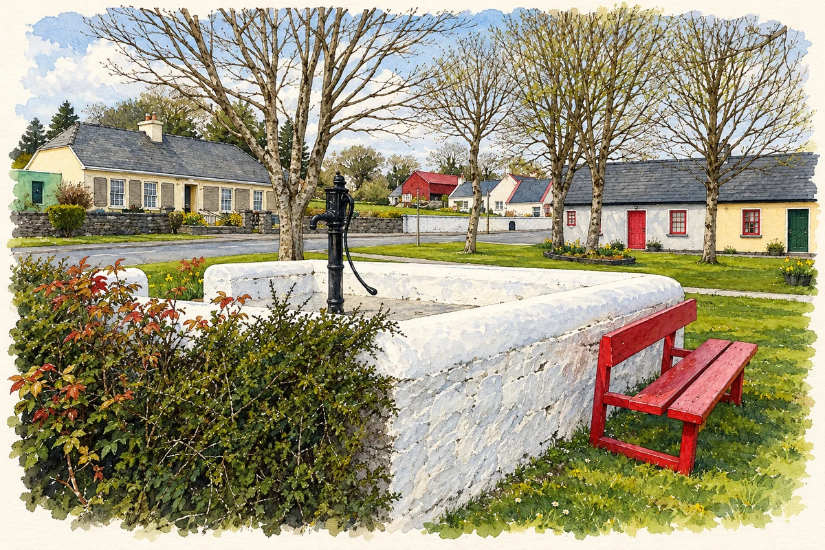
- Village pump and green, Ballynacally, County Clare illustration: based on a Ballynacally village centre by Graham Horn. AI-assisted watercolour and ink adaptation; cream paper margins added, incidental clutter omitted and fine details simplified. Licence: CC BY-SA 2.0.
Name record retrieved 2026-10-25 · Source record modified 2025-01-10. How this page was prepared.