 placenames
Broadford
Áth Leathan
An east Clare village shaped by quarrying, fairs and an unusual experiment in managing estate land.
The name
These Irish name elements are associated with this record in the Logainm glossary.
An element’s translation is a clue, rather than a complete explanation of the name. Its form and meaning depend on local history and the full Irish name.
Recorded forms
- Áth Leathan · Irish · main form · validated name
- Broadford · English · main form
Place & story
A post-town under the hills
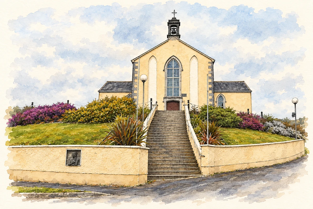
Lewis counted seventy-one houses and 383 inhabitants in Broadford in 1837. The village stood on the Killaloe–Ennis road and had a post office linked with Limerick, a dispensary and a school supported chiefly by the minister. Its fairs fell in June and November. He recorded slate quarries nearby and a substantial Catholic chapel under construction above the village, placing trade, education and church-building alongside the surrounding rural economy. [2]
Slate workers and their landscape
The county heritage leaflet identifies three former slate-quarry areas: Kilsiely, Ardskeagh and the Glenomra River. Beside the disused Kilsiely quarry are the remains of a deserted workers’ village, near a medieval church, graveyard and holy well. These sites connect the buildings of the district with the extraction of their roofing material. The surviving industrial landscape extends beyond the village street to the places where stone was quarried and workers lived. [3]
The Broadford Soviet
In 1922 tenants on the Going estate near Broadford briefly managed the property through a committee of farmers, tenants and workers. The experiment became known as the Broadford Soviet. Historical research describes the committee paying a reduced rent while converting some land to shared meadow and letting tillage plots to landless men. The estate remained legally private property: this was a local challenge over rents and access to land rather than the creation of a new state. [4]
A ballroom reused for the parish
Broadford’s parish hall, built in the 1940s beside the primary school, incorporated a roof and floor taken from the ballroom at Doon House. The heritage leaflet records this reuse alongside the former forges and mill by the river. Material from an estate’s entertainment room thus acquired a new community setting, a small but concrete connection between the district’s older houses and its twentieth-century communal buildings. [3]
Geographic information
- Place type
- Population centre
- County
- Clare
- Barony
- Tulla Lower
- Civil parish
- Kilseily
- Within
- Broadford
- Coordinates
- 52.79743, -8.62274 (approximate)
- Logainm ID
- 1412540 ↗
Sources & further reading
- Logainm.ie — Broadford. Place names and geographic record, licensed under CC BY 4.0.
- Broadford: A History and Topography, 1837 · Samuel Lewis, Clare Libraries Local Studies
- Broadford heritage leaflet · Clare heritage leaflet, hosted by Clare County Library
- Class Struggle in the 1916–1923 Irish Revolution: A Reappraisal, page 33 · Olivier Coquelin, Études irlandaises 42-2 (2017)
- St Peter's Church, Broadford, County Clare illustration: based on a Broadford church by Graham Horn. AI-assisted watercolour and ink adaptation; cream paper margins added, incidental clutter omitted and fine details simplified. Licence: CC BY-SA 2.0; adapted illustration distributed under the same licence.
Name record retrieved 2026-10-25 · Source record modified 2025-01-10. How this page was prepared.