These Irish name elements are associated with this record in the Logainm glossary.
An element’s translation is a clue, rather than a complete explanation of the name. Its form and meaning depend on local history and the full Irish name.
Recorded forms
Cill Mháille· Irish · main form · validated name
Kilmaley· English · main form
Place & story
The ruin recorded in 1839
The Ordnance Survey correspondence of 1839 found only the south wall and east gable of Kilmaley’s older church standing, both still at their full height. The survey measured the wall at sixty-five feet and the gable at twenty feet across. Its author recognised an ecclesiastical element in the place-name but could not identify the person called Maley. The record preserves that uncertainty alongside its detailed observation of the surviving masonry.[2]
A new church under Father Lynch
Before the present Saint John the Baptist church, worship took place in a thatched building with a mud floor near Kilmaley Bridge. Parish tradition dates its successor to 1844, during Father Daniel Lynch’s ministry. Lynch also intervened in local public life: in 1834 he sought to suppress the fair at nearby Connolly because of disorder. His attempt failed. The parish account thus places the building of the church alongside a priest’s efforts to regulate a neighbouring fair.[3]
New spaces and a parish frieze
A major refurbishment in 1967 adapted the church to changing liturgical requirements. W. F. Judge of Ennis prepared plans for new facilities including a baptistery, mortuary, confessionals and choir room; the entrances and transept arrangement also changed. Another addition came in 2005, when a Millennium Frieze by Peader McNamara was unveiled. Made in jesomite, it depicts episodes from parish history, introducing a modern artwork into the older place of worship.[3]
Both counts use the 2016 settlement boundary, allowing like-for-like comparison. CSO supplies the 2022 count on this older boundary for comparison only. The official 2022 Built Up Area has different boundaries.
View population figures
Kilmaley — Census 2016 settlement footprint — census population
These figures use different area definitions. Read the boundary note before comparing them.
Kilmaley, Clare
Published census settlement populations
202people · 2016
Settlement boundaries changed during this period. Differences may reflect boundary changes as well as population change. Where a 2011 legal-town-and-environs count is shown, it has not been recalculated onto the 2016 settlement boundary.
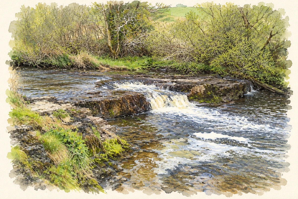
Kilmaley River near Kilmaley, County Clare illustration: based on a Kilmaley River, Co Clare (3 May 2010) by C O'Flanagan. AI-assisted watercolour and ink adaptation; cream paper margins added, incidental clutter omitted and fine details simplified. Licence: CC BY-SA 2.0.
 placenames