Belmullet’s position between two bays inspired ambitious transport schemes, while nineteenth-century emigration linked the surrounding district with North America.
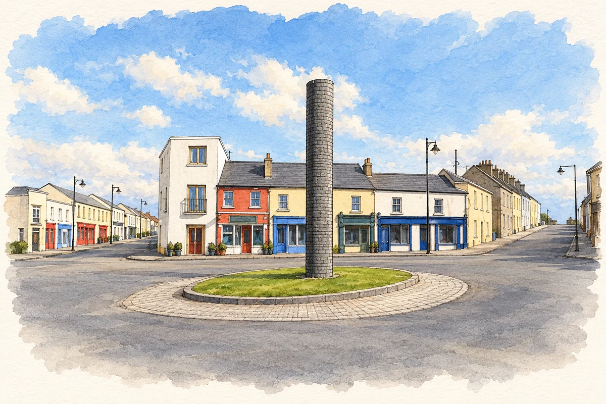
Illustration, Central square and pillar, Belmullet
⊕Recorded locationBelmullet54.22443° N · 9.98455° WInteractive map supplied by OpenStreetMap.
These Irish name elements are associated with this record in the Logainm glossary.
An element’s translation is a clue, rather than a complete explanation of the name. Its form and meaning depend on local history and the full Irish name.
Recorded forms
Béal an Mhuirthead· Irish · main form · validated name
Belmullet· English · main form
Place & story
People & connections
William Henry Carter’s new streets
William Henry Carter laid out Belmullet's streets, square and quay from the early 1820s. Historian Richard J. Butler places this development within a wider programme of new roads engineered by Alexander Nimmo, Patrick Knight and William Bald. The site occupied the narrow land between Blacksod and Broadhaven bays, combining sheltered water with access to the Mullet peninsula. Belmullet was therefore a deliberately planned coastal market town. Its development depended on improved routes through Erris, which connected its harbour and shops to a much larger agricultural hinterland.[2]
The railway that never arrived
Belmullet's promoters imagined a much greater role for the town: a railway from Dublin would connect with steamships crossing the Atlantic. Butler's study examines the nineteenth-century proposals and a later scheme in 1915. None was built. The plans sought to turn the town into a major international interchange, with Ireland serving as a route between Britain and North America. Their failure is part of the local history too. Drawings and proposals record what engineers and landowners hoped Belmullet might become, rather than railway infrastructure that visitors should expect to find.[2]
Families leaving the Belmullet union
James Hack Tuke's assisted-emigration scheme operated in the Belmullet Poor Law Union during the 1880s. Gerard Moran records 2,420 applications from that union in 1883 and a first group of 356 people leaving Blacksod Bay aboard the Nestorian on 1 April. These figures concern the wider administrative district, not just Belmullet town. Government grants and private subscriptions helped pay family passages. Moran also records opposition to the scheme and the persistence of poverty after it ended. For family historians, the union's emigration records offer a route from an Erris household to a later life overseas.[3]
Béal An Mhuirthead — Census 2016 settlement footprint
Population within 2016 settlement boundaries
1,134people · 2022
Both counts use the 2016 settlement boundary, allowing like-for-like comparison. CSO supplies the 2022 count on this older boundary for comparison only. The official 2022 Built Up Area has different boundaries.
View population figures
Béal An Mhuirthead — Census 2016 settlement footprint — census population
Béal an Mhuirthead, Mayo — Census town, CSO 2006 report
2002–2006: census town
1,074people · 2006
These are the historical areas published in the 2006 census report. Boundaries may differ between censuses and from modern settlements. Legal towns, environs and suburbs are shown separately; none has been combined into a modern settlement total.
View population figures
Béal an Mhuirthead, Mayo — Census town, CSO 2006 report — census population
Béal an Mhuirthead, Mayo — Census town, CSO 1996 report
1991–1996: census town
954people · 1996
These are the historical areas published in the 1996 census report. Boundaries may differ between censuses and from modern settlements. Legal towns, environs and suburbs are shown separately; none has been combined into a modern settlement total.
View population figures
Béal an Mhuirthead, Mayo — Census town, CSO 1996 report — census population
Figures cover the historical town area printed in the 1986 report. Boundaries may have changed between censuses. Legal town, environs and suburb totals remain separate and differ from modern settlement boundaries.
View population figures
Belmullet, Mayo — Census town, CSO 1986 report — census population
These figures use different area definitions. Read the boundary note before comparing them.
Béal an Mhuirthead, Mayo
Published census settlement populations
1,019people · 2016
Settlement boundaries changed during this period. Differences may reflect boundary changes as well as population change. Where a 2011 legal-town-and-environs count is shown, it has not been recalculated onto the 2016 settlement boundary.
Central square and pillar, Belmullet illustration: based on a Central square and pillar, Belmullet/Béal an Mhuirthead by Oliver Dixon. AI-assisted watercolour and ink adaptation; cream paper margins added, incidental clutter omitted and fine details simplified. Licence: CC BY-SA 2.0.
 placenames