 placenames
Ballindangan
Baile an Daingin
Ballindangan’s buildings record domestic life, organised sport and the local effort to create a shared meeting place.
The name
These Irish name elements are associated with this record in the Logainm glossary.
An element’s translation is a clue, rather than a complete explanation of the name. Its form and meaning depend on local history and the full Irish name.
Recorded forms
- Baile an Daingin · Irish · main form · validated name
- Ballindangan · English · main form
Place & story
A thatched house at the crossroads
A vernacular house at Ballindangan Crossroads dates from around 1800. The architectural inventory records its thatched roof, rear extension under corrugated iron and attached neighbouring house. A boulder built into the south-west corner acted as a wheel guard, protecting the building from passing vehicles. The combination of domestic accommodation, outbuildings and road-edge details preserves evidence of how an older rural household occupied this important junction. [2]
A handball alley with room for spectators
Ballindangan's handball alley was built around 1930 in reinforced concrete. Its most distinctive feature is a five-tier spectator stand along the western side, supported by angled iron bars and concrete piers. The architectural survey identifies this provision for spectators as unusual among handball alleys. The structure records both the playing of the game and the space made for an audience, giving organised sport a substantial presence in the village. [3]
Building the community centre
When Father Con O'Donovan arrived as curate in January 1970, the school was the main available meeting place for local organisations. He organised a hall committee, a site was donated and planning permission was sought before the year's end. Fundraising and local labour helped bring the community centre to completion, with its official opening in 1973. The community's fiftieth-anniversary account recalls its use for plays, socials, card games and ICA meetings. [4]
Geographic information
- Place type
- Population centre
- County
- Cork
- Barony
- Fermoy
- Civil parish
- Ballydeloughy
- Within
- Ballindangan
- Coordinates
- 52.24140, -8.32210 (approximate)
- Logainm ID
- 1412702 ↗
Sources & further reading
- Logainm.ie — Ballindangan. Place names and geographic record, licensed under CC BY 4.0.
- Ballindangan Crossroads,registration20901920 · National Inventory of Architectural Heritage
- Ballindangan Handball Alley,registration20901919 · National Inventory of Architectural Heritage
- Ballindangan Hall: community centre fiftieth-anniversary account · Ballindangan Community Council; Grace Courtney, Glanworth Community Archive
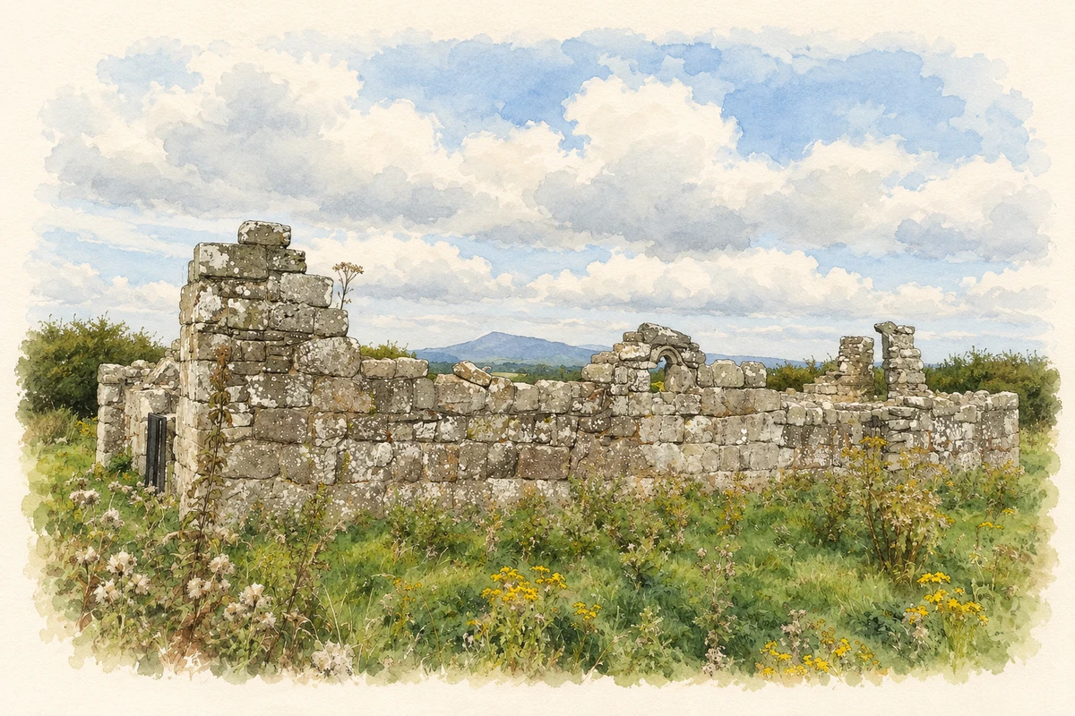
- Killeenemer Church remains, near Ballindangan, County Cork illustration: based on a Kileenemer Church, North Cork by The Speckled Bird. AI-assisted watercolour and ink adaptation; cream paper margins added, incidental clutter omitted and fine details simplified. Licence: CC BY-SA 4.0.

Name record retrieved 2026-10-25 · Source record modified 2025-01-10. How this page was prepared.