These Irish name elements are associated with this record in the Logainm glossary.
An element’s translation is a clue, rather than a complete explanation of the name. Its form and meaning depend on local history and the full Irish name.
Recorded forms
Baile Mhac Óda· Irish · main form · validated name
Ballymacoda· English · main form
Place & story
The village and its parish
Samuel Lewis placed Ballymacoda about a mile inland in 1837, beside an inlet where sand was taken at low tide. His wider Kilmacdonough parish account listed a coastguard station, signal tower and dispensary. Ballymacoda also gave its name to a Catholic district containing chapels here, at Ladysbridge and at Shanagarry. These services and religious connections linked the small village with a much wider coastal and agricultural area.[2]
Saint Peter in Chains
The village church of Saint Peter in Chains replaced an earlier building commemorated by a plaque on its boundary wall. Its pointed windows and doorways give the exterior a consistent Gothic character. Inside are exposed roof timbers, an entrance porch and gallery, a pointed arcade dividing the aisles, and carved marble altar furnishings. The architectural survey records a graveyard within the site, enclosed by stone walls and iron railings.[3]
Coastguards and the Fenian raid
The coastguard story belongs chiefly to the surrounding shore. Local research identifies an 1865 tender for a watch house, boathouse and accommodation at Ring, described in the notice as Knockadoon station. During the Fenian rising on 5 March 1867, Peter O’Neill Crowley’s party raided a coastguard station for arms. The precise location remains disputed between Ring and Knockadoon Warren in the local historical literature. The surviving buildings should therefore not be assigned the raid without acknowledging that uncertainty.[4]
Both counts use the 2016 settlement boundary, allowing like-for-like comparison. CSO supplies the 2022 count on this older boundary for comparison only. The official 2022 Built Up Area has different boundaries.
View population figures
Ballymacoda — Census 2016 settlement footprint — census population
These figures use different area definitions. Read the boundary note before comparing them.
Ballymacoda, Cork
Published census settlement populations
185people · 2016
Settlement boundaries changed during this period. Differences may reflect boundary changes as well as population change. Where a 2011 legal-town-and-environs count is shown, it has not been recalculated onto the 2016 settlement boundary.
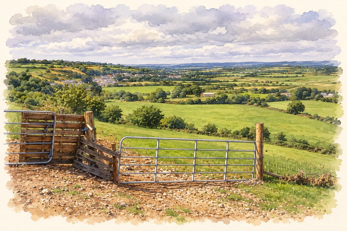
View over Ballymacoda village and countryside, County Cork illustration: based on a Pathway to local cemetery: view over Ballymacoda by Hywel Williams. AI-assisted watercolour and ink adaptation; cream paper margins added, incidental clutter omitted and fine details simplified. Licence: CC BY-SA 2.0.
 placenames