 placenames
Carrigadrohid
Carraig an Droichid
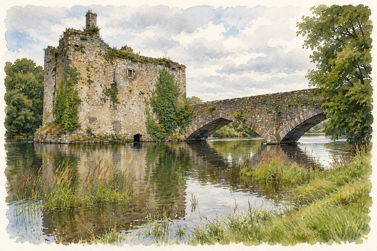
A castle controlling the Lee crossing and a twentieth-century hydroelectric station mark different uses of the river at Carrigadrohid.
The name
These Irish name elements are associated with this record in the Logainm glossary.
An element’s translation is a clue, rather than a complete explanation of the name. Its form and meaning depend on local history and the full Irish name.
Recorded forms
- Carraig an Droichid · Irish · main form · validated name
- Carrigadrohid · English · main form
Place & story
A castle built in the river
Carrigadrohid’s tower house stands on a rocky outcrop in the River Lee, beside the bridge. The architectural inventory dates its beginnings to about 1450 and identifies the MacCarthys of Muskerry as its builders. Its position allowed control of movement across and along the river. Later changes produced a T-shaped building with a north wing. [2]
From contested stronghold to handball alley
The castle’s history includes the execution of Bishop MacEgan after he encouraged its defenders to resist the attacking forces. The architectural inventory records a 1656 survey valuing the castle at£100, while its adjoining timber bridge was usable only on foot. The Bowen family later occupied the building. In the twentieth century, its western portion served as a handball alley: a different local use for part of the old stronghold. [2]
The Lee hydroelectric scheme
The nearby Carrigadrohid generating station was built during the 1952–57 development of the Lee hydroelectric scheme. ESB identifies an eight-megawatt generating unit here, distinct from the larger Inniscarra station downstream. Together the stations required two reservoirs, transforming the valley’s water levels and landscape. The castle and bridge now stand within a river system substantially reshaped for electricity generation. [2] [3]
Geographic information
- Place type
- Population centre
- County
- Cork
- Barony
- Muskerry East
- Civil parish
- Aghinagh
- Within
- Carrigadrohid
- Coordinates
- 51.90616, -8.85738 (approximate)
- Logainm ID
- 1412753 ↗
Sources & further reading
- Logainm.ie — Carrigadrohid. Place names and geographic record, licensed under CC BY 4.0.
- Carrigadrohid Castle: NIAH 20907115 · National Inventory of Architectural Heritage
- Carrigadrohid hydroelectric station · Electricity Supply Board
- Carrigadrohid Castle and bridge, County Cork illustration: based on a Carrigadrohid Castle by Philip Halling. AI-assisted watercolour and ink adaptation; cream paper margins added, incidental clutter omitted and fine details simplified. Licence: CC BY-SA 2.0.
Name record retrieved 2026-10-25 · Source record modified 2025-01-10. How this page was prepared.