 placenames
Bellanamore
Béal an Átha Móir
Bellanamore’s modest passenger halt and a separate peat railway connected this Donegal settlement with very different forms of transport and work.
The name
These Irish name elements are associated with this record in the Logainm glossary.
An element’s translation is a clue, rather than a complete explanation of the name. Its form and meaning depend on local history and the full Irish name.
Recorded forms
- Béal an Átha Móir · Irish · main form · validated name
- Bellanamore · English · main form
- Ballinamore · English · main form · local name
Place & story
Ballinamore halt on the Glenties branch
The railway used the spelling Ballinamore for the halt serving Bellanamore village. Its facilities were minimal: a single platform and a small corrugated building beside the three-foot-gauge Glenties branch. The stationmaster’s house stood separately nearby. A 2026 photographic record found the platform and trackbed still recognisable, with rusting remains of the small building after it had blown down. The railway’s disappearance left a slender physical trace beside the village. [2] [3]
A peat railway on the moor
A 1966 visit recorded by railway enthusiast Rich Morris found a separate two-foot-gauge line operated by the Donegal Peat Development Company near Bellanamore. It brought peat from the bog to a loading dock. Ten steel wagons had a swivelling pair of wheels, and the locomotive carried a Ferguson tractor engine after conversion from diesel to petrol. Morris also noticed reused lorry frames beneath the track and tyres serving as buffer stops, recording practical improvisations in this small industrial operation. [4]
Bridge, schoolhouse and railway embankment
A cultural-heritage assessment for the Donegal 110 kV project recorded Scallan Bridge and Bellanamore schoolhouse as surviving buildings already shown on the 1906 Ordnance Survey map. It also identified the old railway embankment along the southern bank of the River Finn and a level crossing with an associated building. Together these records place the railway remains alongside the roads and school buildings that served the surrounding rural community. [5]
Geographic information
Sources & further reading
- Logainm.ie — Bellanamore. Place names and geographic record, licensed under CC BY 4.0.
- The Glenties Branch, part 2: Ballinamore to Glenties, 22 June 2020 · Roger Farnworth
- Ballinamore railway station site, photograph 8388986,9 July 2026 · Nigel Thompson, Geograph Britain and Ireland
- Ireland ’66, part two: Industrial Lines, The Narrow Gauge 44, May 1967, pages 24–25 · Rich Morris, Narrow Gauge Railway Society
- Evidence Based Environmental Study 2: Cultural Heritage, appendixC, Donegal 110 kV project 2008 · EirGrid
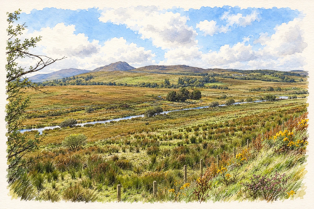
- River Finn valley, Bellanamore illustration: based on a Across the River Finn by Ian Paterson. AI-assisted watercolour and ink adaptation; cream paper margins added, incidental clutter omitted and fine details simplified. Licence: CC BY-SA 2.0.
Name record retrieved 2026-10-25 · Source record modified 2011-12-16. How this page was prepared.