These Irish name elements are associated with this record in the Logainm glossary.
An element’s translation is a clue, rather than a complete explanation of the name. Its form and meaning depend on local history and the full Irish name.
Recorded forms
Cill Cheallaigh· Irish · main form · validated name
Kilkelly· English · main form
Place & story
Letters carried across the Atlantic
The ballad Kilkelly Ireland grew from letters sent to the emigrant John Hunt in America. Patrick McNamara, a schoolmaster at Tavrane, wrote on behalf of the family. The surviving correspondence connects the Kilkelly district with the practical work of maintaining family ties across an ocean. The song's title should not be treated as an exact address: Urlaur's community account places both the Hunt and McNamara homes at Urlaur, outside the village itself.[2][3]
People & connections
Patrick McNamara and the song’s later life
McNamara was born in 1830 and died in 1902. His son Jim and daughter-in-law Annie also taught at Tavrane, continuing the family's association with the school. American songwriter Peter Jones later used the Hunt correspondence as the basis for Kilkelly Ireland. Urlaur's community organisers record his visit to their Pattern in 2022, when he performed the song. The association therefore spans both nineteenth-century letter writing and a later musical return to the district.[4][2]
The river and the former school
The Trimogue runs through Kilkelly, marking the division between the parishes of Kilmovee and Aughamore. The restored old cemetery and riverside picnic area form part of the village's local landscape. Another surviving community landmark is the former national school, adapted as a community centre. Its continued use for meetings and classes preserves a public role for an educational building after its original teaching function ended.[5][6]
Both counts use the 2016 settlement boundary, allowing like-for-like comparison. CSO supplies the 2022 count on this older boundary for comparison only. The official 2022 Built Up Area has different boundaries.
View population figures
Kilkelly — Census 2016 settlement footprint — census population
These are the historical areas published in the 2006 census report. Boundaries may differ between censuses and from modern settlements. Legal towns, environs and suburbs are shown separately; none has been combined into a modern settlement total.
View population figures
Kilkelly, Mayo — Census town, CSO 2006 report — census population
These are the historical areas published in the 1996 census report. Boundaries may differ between censuses and from modern settlements. Legal towns, environs and suburbs are shown separately; none has been combined into a modern settlement total.
View population figures
Kilkelly, Mayo — Census town, CSO 1996 report — census population
Figures cover the historical town area printed in the 1986 report. Boundaries may have changed between censuses. Legal town, environs and suburb totals remain separate and differ from modern settlement boundaries.
View population figures
Kilkelly, Mayo — Census town, CSO 1986 report — census population
These figures use different area definitions. Read the boundary note before comparing them.
Kilkelly, Mayo
Published census settlement populations
373people · 2016
Settlement boundaries changed during this period. Differences may reflect boundary changes as well as population change. Where a 2011 legal-town-and-environs count is shown, it has not been recalculated onto the 2016 settlement boundary.
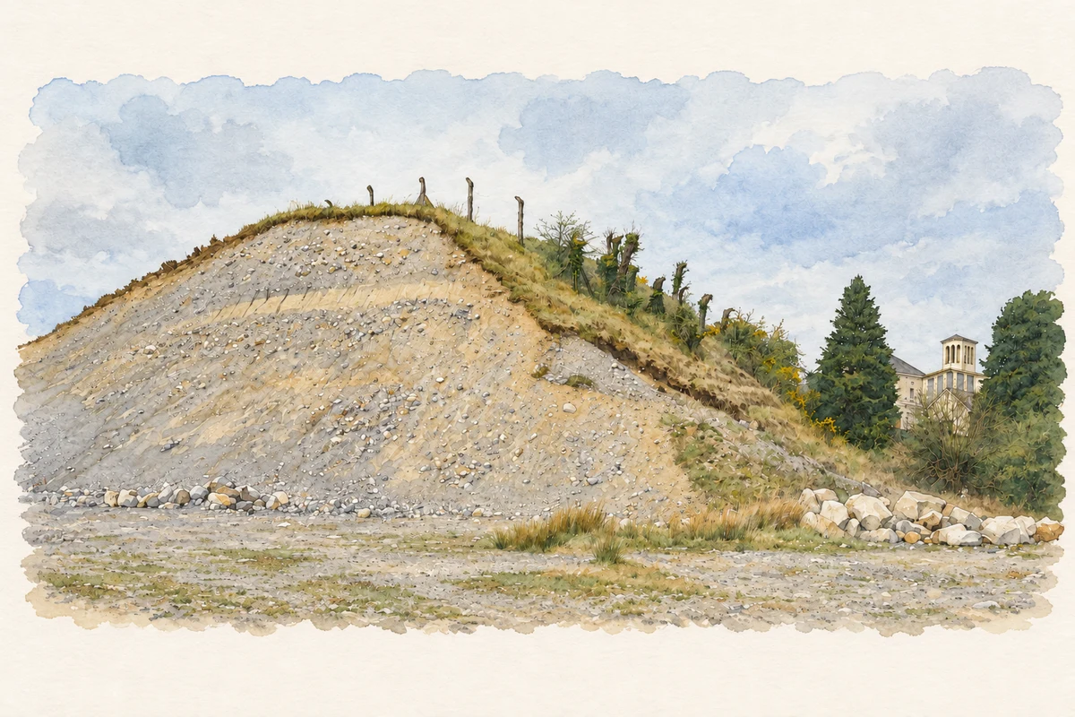
Kilkelly esker exposure with Saint Celsus Church in the distance illustration: based on a Kilkelly County Geological Site Report, page 2 top photograph: Gravel pit in Kilkelly, viewed looking north by Geological Survey Ireland; report by Ronan Hennessy, Martin Feely, Matthew Parkes and Sarah Gatley. Contains Irish Public Sector Data (Geological Survey Ireland) licensed under a Creative Commons Attribution 4.0 International (CC BY 4.0) licence. AI-assisted watercolour and fine ink adaptation; cream margins added and details simplified. Licence: CC BY 4.0.
 placenames