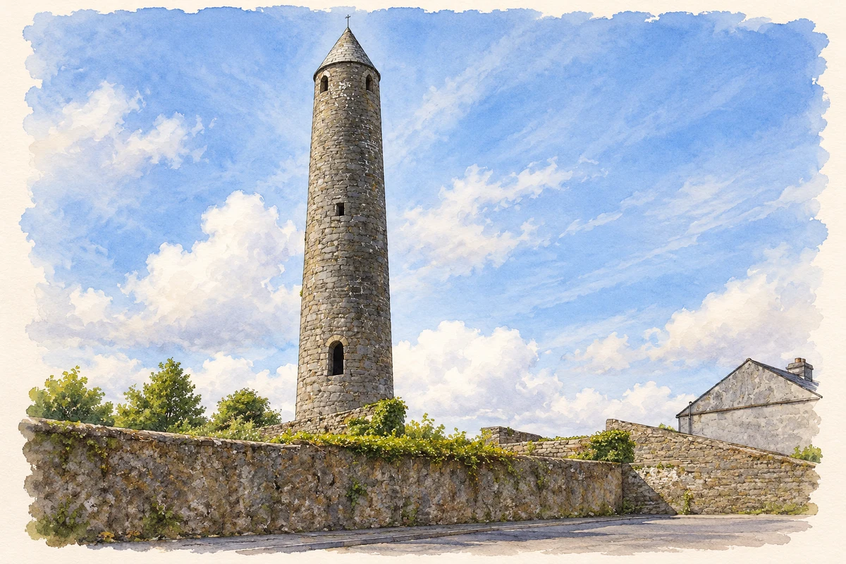
Killala's round tower marks its early religious importance. The town also preserves a strong association with the French expedition of 1798 and Bishop Joseph Stock's eyewitness record.
Illustration, Killala Round Tower
⊕Recorded locationKillala54.21116° N · 9.21620° WInteractive map supplied by OpenStreetMap.
These Irish name elements are associated with this record in the Logainm glossary.
An element’s translation is a clue, rather than a complete explanation of the name. Its form and meaning depend on local history and the full Irish name.
Recorded forms
Cill Ala· Irish · main form · validated name
Killala· English · main form
Place & story
The French take the town
On 22 August 1798 General Humbert's expedition landed at Kilcummin, north of Killala. The French occupied the town and used Bishop Stock's residence as their headquarters before advancing to Ballina and Castlebar. Matthew Tone, brother of Wolfe Tone, accompanied the expedition. Killala thus became an early centre of the campaign remembered as the Year of the French.[2]
People & connections
Joseph Stock, eyewitness and correspondent
Joseph Stock became bishop of Killala and Achonry in 1798 and remained in the diocese until 1810. His account of the French occupation was published as A Narrative of What Passed at Killalla, describing the invasion and events in the surrounding district. The National Library identifies him as the eyewitness behind the anonymously presented 1800 edition. His family papers also survive in substantial collections: University of Galway Archives holds correspondence and legal records relating to his descendants, while letters from Stock to his son Henry are preserved at Trinity College Dublin. These records connect the dramatic public events with the family's longer life in north Mayo.[3][4]
The tower above the rooftops
Killala's round tower rises about 84 feet, with its doorway approximately eleven feet above ground. It belongs to the early Irish tradition of church bell towers, whose elevated entrances could also assist their use as places of refuge. Lightning damaged the tower in the nineteenth century, after which it was repaired. Its tall cylindrical form gives a clear landmark above the lower buildings of the town. The survival of the tower makes the earlier ecclesiastical settlement visible within the streets of modern Killala.[5]
Both counts use the 2016 settlement boundary, allowing like-for-like comparison. CSO supplies the 2022 count on this older boundary for comparison only. The official 2022 Built Up Area has different boundaries.
View population figures
Killala — Census 2016 settlement footprint — census population
These are the historical areas published in the 2006 census report. Boundaries may differ between censuses and from modern settlements. Legal towns, environs and suburbs are shown separately; none has been combined into a modern settlement total.
View population figures
Killala, Mayo — Census town, CSO 2006 report — census population
These are the historical areas published in the 1996 census report. Boundaries may differ between censuses and from modern settlements. Legal towns, environs and suburbs are shown separately; none has been combined into a modern settlement total.
View population figures
Killala, Mayo — Census town, CSO 1996 report — census population
Figures cover the historical town area printed in the 1986 report. Boundaries may have changed between censuses. Legal town, environs and suburb totals remain separate and differ from modern settlement boundaries.
View population figures
Killala, Mayo — Census town, CSO 1986 report — census population
These figures use different area definitions. Read the boundary note before comparing them.
Killala, Mayo
Published census settlement populations
562people · 2016
Settlement boundaries changed during this period. Differences may reflect boundary changes as well as population change. Where a 2011 legal-town-and-environs count is shown, it has not been recalculated onto the 2016 settlement boundary.
 placenames