Kiltimagh links the remembered landscape of Raftery with Denis O’Hara’s work for rural communities and a museum shaped by the experience of emigration.
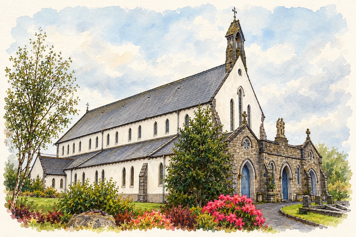
Illustration, St Joseph's Catholic Church, Kiltimagh, County Mayo
⊕Recorded locationKiltimagh53.84864° N · 9.00068° WInteractive map supplied by OpenStreetMap.
These Irish name elements are associated with this record in the Logainm glossary.
An element’s translation is a clue, rather than a complete explanation of the name. Its form and meaning depend on local history and the full Irish name.
Recorded forms
Coillte Mach· Irish · main form · validated name
Kiltimagh· English · main form
Place & story
People & connections
Raftery and nearby Killedan
The poet Antaine Raiftearaí, usually known in English as Raftery, was born at Killedan near Kiltimagh. Blinded by smallpox in childhood, he later travelled as a musician and poet, spending much of his life in south Galway. His poem Cill Liadáin remembers his native place. The Dictionary of Irish Biography distinguishes this established work from the famous Mise Raiftearaí, whose authorship is less secure and may reflect later folklore about him. That distinction matters when tracing Kiltimagh's literary connections: the poet's homeland and his subsequent reputation belong to related but different histories.[2]
People & connections
Denis O’Hara and improvements to rural life
Denis O'Hara served as parish priest in Kiltimagh for much of his career. He joined the Congested Districts Board in 1895 and developed a parish committee scheme in 1897. It encouraged improvements to farms, homes and outbuildings through prizes and grants. By 1906 the scheme had reached eight counties and 159 committees. O'Hara also took an active part in agrarian politics and supported John Dillon. His connection with Kiltimagh therefore extends beyond church building: it includes an attempt to improve everyday material conditions across western rural communities.[3]
The goods store becomes a museum
Kiltimagh's station opened in 1894 and became closely associated with departures for work overseas. The local historical society acquired its old goods store in the 1980s, and the museum opened in June 1989. Two railway carriages commemorated emigrants who had left through the station. The collection includes railway objects, town-band instruments, lace-school material and a Land League banner. The former stationmaster's house became an arts centre. Reusing these railway buildings brought several strands of local history together: transport, skilled work, political organisation and the families shaped by migration.[4]
Both counts use the 2016 settlement boundary, allowing like-for-like comparison. CSO supplies the 2022 count on this older boundary for comparison only. The official 2022 Built Up Area has different boundaries.
View population figures
Kiltimagh — Census 2016 settlement footprint — census population
These are the historical areas published in the 2006 census report. Boundaries may differ between censuses and from modern settlements. Legal towns, environs and suburbs are shown separately; none has been combined into a modern settlement total.
View population figures
Kiltimagh, Mayo — Census town, CSO 2006 report — census population
These are the historical areas published in the 1996 census report. Boundaries may differ between censuses and from modern settlements. Legal towns, environs and suburbs are shown separately; none has been combined into a modern settlement total.
View population figures
Kiltimagh, Mayo — Census town, CSO 1996 report — census population
Figures cover the historical town area printed in the 1986 report. Boundaries may have changed between censuses. Legal town, environs and suburb totals remain separate and differ from modern settlement boundaries.
View population figures
Kiltimagh, Mayo — Census town, CSO 1986 report — census population
These figures use different area definitions. Read the boundary note before comparing them.
Kiltimagh, Mayo
Published census settlement populations
1,069people · 2016
Settlement boundaries changed during this period. Differences may reflect boundary changes as well as population change. Where a 2011 legal-town-and-environs count is shown, it has not been recalculated onto the 2016 settlement boundary.
St Joseph's Catholic Church, Kiltimagh, County Mayo illustration: based on a Kiltamagh, Co. Mayo, St Joseph's R.C. Church by Bill Henderson. AI-assisted watercolour and ink adaptation; cream paper margins added, incidental clutter omitted and fine details simplified. Licence: CC BY-SA 2.0.
 placenames