 placenames
Doagh Beg
Dumhaigh Bhig
Doagh Beg’s community archive preserves evidence of coastal ambitions, policing and education on the eastern side of Fanad.
The name
These Irish name elements are associated with this record in the Logainm glossary.
An element’s translation is a clue, rather than a complete explanation of the name. Its form and meaning depend on local history and the full Irish name.
Recorded forms
- Dumhaigh Bhig · Irish · main form · validated name
- Doagh Beg · English · main form
- Doaghbeg · English · main form · local name
Place & story
The lagoon as a harbour
The natural lagoon at Doagh Beg attracted proposals for a fishing harbour in the early nineteenth century. The community history project cites an 1820 Montgomery report considering stonework to close gaps in the surrounding rocks. Local contributor Tom McIntyre identifies the harbour area as stretching between Carraig an tSudaire and Oileán Mór. The proposal reflected ambitions to develop the herring industry. [2]
The constabulary barracks
Doagh Beg's barracks stood near the school and village shop, at a junction of the old and new roads. Its precise construction date remains uncertain, although the community archive records it in Griffith's Valuation of 1858. The abandoned building was burned in 1920 after the police had moved to Tamney. Surviving documentary references trace a long local constabulary presence. [3]
Successive school buildings
The community archive dates an early Doagh Beg school to around 1851 and its replacement to approximately 1912. A reproduced parliamentary question records a dispute over the new building's construction tender. Extensions followed in the 1930s and 2009. When closure was proposed in 2003, with only seven pupils remaining, a local protest helped keep the school open. [4]
Geographic information
- Place type
- Population centre
- County
- Donegal
- Barony
- Kilmacrenan
- Civil parish
- Clondavaddog
- Within
- Fanad North
- Within
- Doagh Beg
- Coordinates
- 55.25141, -7.62256 (approximate)
- Logainm ID
- 1412968 ↗
Sources & further reading
- Logainm.ie — Doagh Beg. Place names and geographic record, licensed under CC BY 4.0.
- DoaghbegHarbour,communityhistoricalresearch · Doaghbeg community history project,Tom McIntyre
- DoaghbegBarracks,communityhistoricalresearch · Doaghbeg community history project,Eunan Sweeney
- DoaghbegSchool,communityhistoricalresearch · Doaghbeg community history project
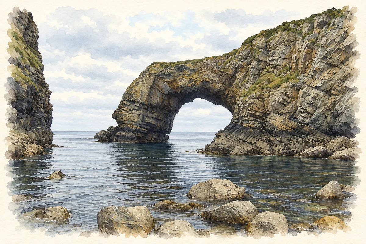
- Pollet Great Arch near Doagh Beg illustration: based on a Pollet Great Arch by John M. AI-assisted watercolour and ink adaptation; cream paper margins added, incidental clutter omitted and fine details simplified. Licence: CC BY-SA 2.0.
Name record retrieved 2026-10-25 · Source record modified 2012-01-04. How this page was prepared.