 placenames
Linsfort
Lios Loinn
Linsfort’s surviving buildings preserve successive phases of country-house life and worship beside Lough Swilly.
The name
These Irish name elements are associated with this record in the Logainm glossary.
An element’s translation is a clue, rather than a complete explanation of the name. Its form and meaning depend on local history and the full Irish name.
Recorded forms
- Lios Loinn · Irish · main form · validated name
- Linsfort · English · main form
Place & story
Arthur Benson’s house of 1720
Linsfort Castle, also known as Mount Paul, is an early eighteenth-century country house on an older building site. A plaque above its doorway names Captain Arthur Benson and dates the house to 1720. Projecting bays at both ends give it an H-shaped plan. The national architectural survey records later alterations, including changes to its entrance, so the surviving building combines early fabric with subsequent remodelling. [2]
The church of 1779
The ruined Church of Ireland church at Linsfort was built in 1779. Its two-stage western tower retains battlements and stone dressings around the openings, while lancet windows mark the walls of the roofless nave. Gravestones lie within an enclosure bounded by a low stone wall and iron gates. The architectural survey identifies the ruin as a surviving element of Desertegney’s religious history. [3]
Working buildings at Loreto House
The outbuilding complex associated with Loreto House belongs to a later stage of estate development. The survey dates its present form to about 1880, with two-storey ranges arranged around a yard and an arch through the central block. Stone quoins and brick surrounds distinguish the openings. A high garden wall links the complex with the house, preserving the relationship between the residence and its service buildings. [4]
Geographic information
- Place type
- Population centre
- County
- Donegal
- Barony
- Inishowen West
- Civil parish
- Desertegny
- Within
- Desertegny
- Within
- Linsfort
- Coordinates
- 55.17011, -7.49778 (approximate)
- Logainm ID
- 1413084 ↗
Sources & further reading
- Logainm.ie — Linsfort. Place names and geographic record, licensed under CC BY 4.0.
- Linsfort Castle, survey 40901807 · National Inventory of Architectural Heritage
- Desertegny Church of Ireland Church, survey 40901808 · National Inventory of Architectural Heritage
- Loreto House outbuilding complex, survey 40901823 · National Inventory of Architectural Heritage
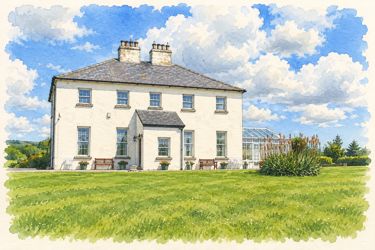
- Loreto House at Linsfort, as photographed in 2009 illustration: based on a Loreto House, Linsfort, Buncrana by Kenneth Allen. AI-assisted watercolour and ink adaptation; cream paper margins added, incidental clutter omitted and fine details simplified. Licence: CC BY-SA 2.0.
Name record retrieved 2026-10-25 · Source record modified 2025-01-10. How this page was prepared.