 placenames
Annacloy
Áth na Cloiche
Annacloy’s development moved from the river and its mills towards the road linking Ballynahinch with Downpatrick.
The name
These Irish name elements are associated with this record in the Logainm glossary.
An element’s translation is a clue, rather than a complete explanation of the name. Its form and meaning depend on local history and the full Irish name.
Recorded forms
- Áth na Cloiche · Irish · main form · validated name
- Annacloy · English · main form
Place & story
Industry beside the river
The council's village renewal plan identifies the Annacloy River as an important influence on the settlement's early development. Corn and flax mills supplied employment, while a quarry operated near the eastern edge. Waterpower and local materials gave the village an industrial role within its farming surroundings. [2]
The Rossconor estate
Rossconor House and its associated grounds formed another focus of early development. The estate included lodges and cottages as well as the principal residence, creating a group of buildings with different roles within the same landed property. The council's account places these grounds alongside the mills in explaining the villages' origins. Their relationship records how estate life and small-scale industry occupied the same local landscape. [2]
Growth along the main road
As industry declined, development concentrated increasingly around Annacloy's crossroads and the road between Ballynahinch and Downpatrick. Housing extended along this transport corridor, producing the elongated settlement described in the 2018 renewal plan. The shift helps explain why the modern village follows the road so closely, while its earlier economic history points towards the river. Changing sources of employment altered where new buildings and daily activity gathered. [2]
Geographic information
- Place type
- Population centre
- County
- Down
- Barony
- Lecale Lower
- Civil parish
- Inch
- Within
- Annacloy
- Coordinates
- 54.35994, -5.76913 (approximate)
- Logainm ID
- 1413102 ↗
Sources & further reading
- Logainm.ie — Annacloy. Place names and geographic record, licensed under CC BY 4.0.
- Annacloy and Teconnaught Village Renewal Plan, January 2018, p.4 · Newry, Mourne and Down District Council
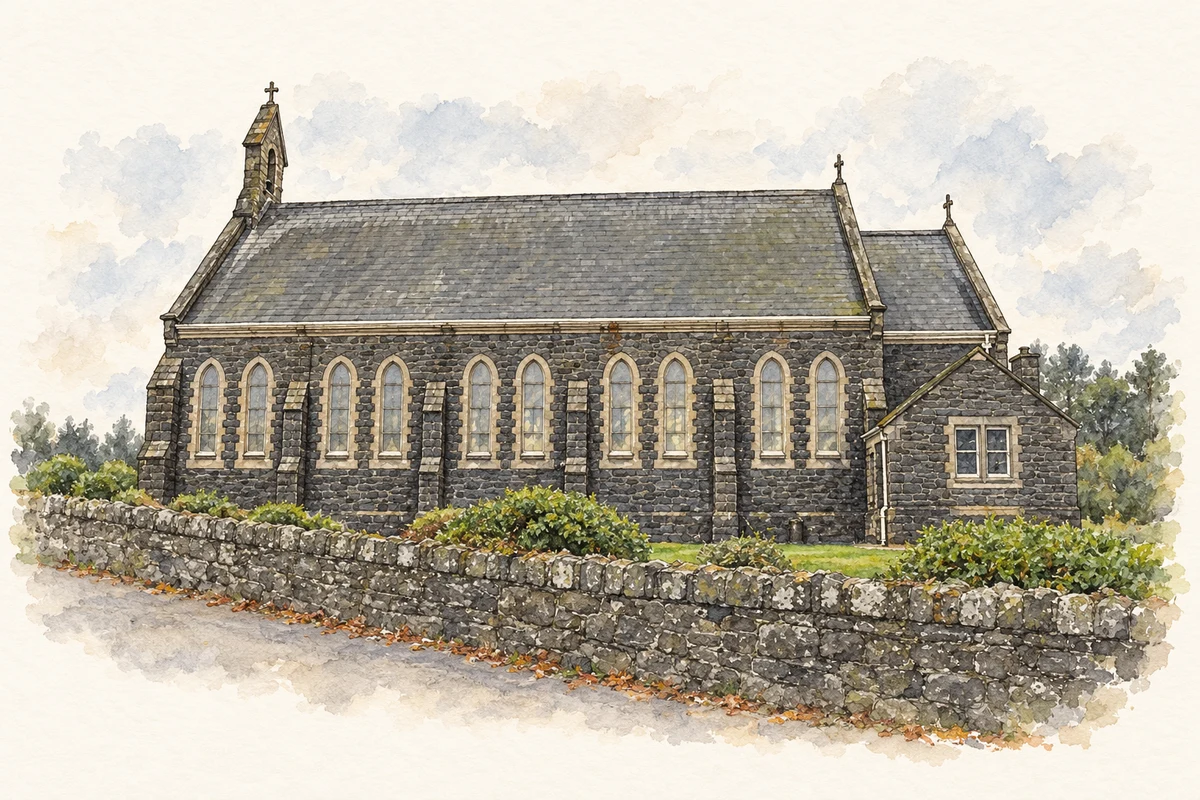
- Holy Family Church, Teconnaught, near Annacloy, County Down illustration: based on a RC Church, Teconnaught by Kenneth Allen. AI-assisted watercolour and ink adaptation; cream paper margins added, incidental clutter omitted and fine details simplified. Licence: CC BY-SA 2.0.
Name record retrieved 2026-10-25 · Source record modified 2019-10-08. How this page was prepared.