 placenames
Ballyardel
Baile Ardghail
Ballyardel’s local history survives in the fabric of a White Water crossing and in family research documenting a house that has disappeared.
The name
These Irish name elements are associated with this record in the Logainm glossary.
An element’s translation is a clue, rather than a complete explanation of the name. Its form and meaning depend on local history and the full Irish name.
Recorded forms
- Baile Ardghail · Irish · main form · validated name
- Ballyardel · English · main form
- Ballyardle · English · main form · local name
Place & story
The Lower White Water Bridge
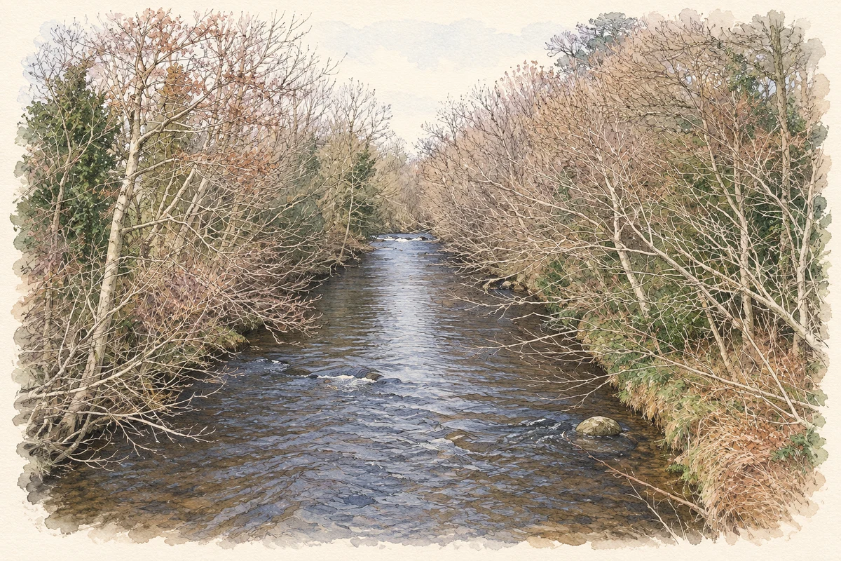
The Lower White Water Bridge carries Corcreagh Road across the river between Ballyardel and Drummanmore. The historic buildings survey records two slightly skewed stone arches of unequal width, with roughly dressed granite blocks forming their curves. Cutwaters divide the flow on both sides. Its rubble construction differs from the more regularly dressed stonework of the later White Water Bridge downstream, preserving an older approach to building this river crossing. [2]
A crossing recorded before the Great Famine
An unnamed bridge appears here on the 1834 Ordnance Survey map; the 1859 edition supplies its name. Surveyors cautioned that the later map's depiction of cutwaters might be inaccurate, so it cannot establish a different original number of arches. The present structure may predate 1834. Its concrete parapets were judged likely to be a mid-twentieth-century replacement, with part of the earlier stone approach wall surviving. [2]
Bellhill and the Marmion family
Family historian Tom Cunningham's account places James and Jane Marmion at Bellhill, also called Belmont, in 1825–26. Their daughter Bessy and her husband John Walter Dowdall later acquired the property, and grandsons Patrick and Thomas Dowdall were associated with it in 1889. A photograph preserved by the family records the subsequently demolished house. Cunningham explicitly leaves open whether the photographed building was the original home occupied by James and Jane. [3]
Geographic information
- Place type
- Population centre
- County
- Down
- Barony
- Mourne
- Civil parish
- Kilkeel
- Within
- Ballyardel
- Coordinates
- 54.05020, -6.04540 (approximate)
- Logainm ID
- 1413110 ↗
Sources & further reading
- Logainm.ie — Ballyardel. Place names and geographic record, licensed under CC BY 4.0.
- Lower White Water Bridge,HB16/04/034:survey2October1998 · Historic Environment Division, Department for Communities
- Bellhill/Belmont at Ballyardel: Marmion family research and photograph · Tom Cunningham, with Marmion family contributions
- White Water River above Lower White Water Bridge, near Ballyardel, County Down illustration: based on a White Water River above the Lower White Water Bridge by Eric Jones. AI-assisted watercolour and ink adaptation; cream paper margins added, incidental clutter omitted and fine details simplified. Licence: CC BY-SA 2.0.
Name record retrieved 2026-10-25 · Source record modified 2019-10-08. How this page was prepared.