 placenames
Ballyhackamore
Baile Hacamar
Ballyhackamore grew around an important east Belfast road junction, while church restoration and public art preserve different aspects of the district’s past.
The name
These Irish name elements are associated with this record in the Logainm glossary.
An element’s translation is a clue, rather than a complete explanation of the name. Its form and meaning depend on local history and the full Irish name.
Recorded forms
- Baile Hacamar · Irish · main form · validated name
- Ballyhackamore · English · main form
Place & story
A village on the Newtownards road
The development of Ballyhackamore followed the construction of a new road from Belfast towards Newtownards between 1760 and 1770. Aidan Campbell's historical account describes how the growing village centred on the staggered crossroads linking Strandtown and Gilnahirk. The more direct route replaced an earlier proposal criticised for its hills and corners. Transport helped turn a rural locality into a recognisable village, later absorbed into Belfast's expanding suburbs. [2]
Recovering Saint Colmcille’s mosaic floor
During restoration of Saint Colmcille's Church, work uncovered the original sanctuary mosaic beneath concrete added during an earlier alteration. Liturgical designers Rooney and McConville describe retaining and restoring the floor while reorganising the altar, reading desk and seating. They positioned permanent fittings to minimise damage to the mosaic and moved the font beside the sanctuary. The project recovered historic craftsmanship while adapting the interior for continuing worship. [3]
Street art recalls nurseries and lamplighters
A heritage art project launched by EastSide Partnership in 2021 drew on Ballyhackamore's horticultural nurseries, tramways and gas lighting. Belfast City Council's later report describes a lamplighter installation beside Kirkpatrick Memorial Presbyterian Church and smaller floral motifs recalling a nursery on the later Bloomfield Collegiate site. The work brought local history into ordinary streets, using images to preserve associations that had become less visible as the area changed. [4] [5]
Geographic information
- Place type
- Population centre
- County
- Down
- Barony
- Castlereagh Lower
- Civil parish
- Holywood
- Within
- Ballyhackamore
- Coordinates
- 54.59531, -5.86462 (approximate)
- Logainm ID
- 1413114 ↗
Sources & further reading
- Logainm.ie — Ballyhackamore. Place names and geographic record, licensed under CC BY 4.0.
- Stormont: Ballyhackamore and the Newtownards road · Aidan Campbell, drawing on Patricia Kernaghan’s parish history
- Saint Colmcille’s Church Ballyhackamore: liturgical refurbishment · Rooney and McConville, project designers
- Ballyhackamore heritage street art,2November2021 · EastSide Partnership
- City Growth and Regeneration Committee,10August2022,revitalisation report,p.92 · Belfast City Council
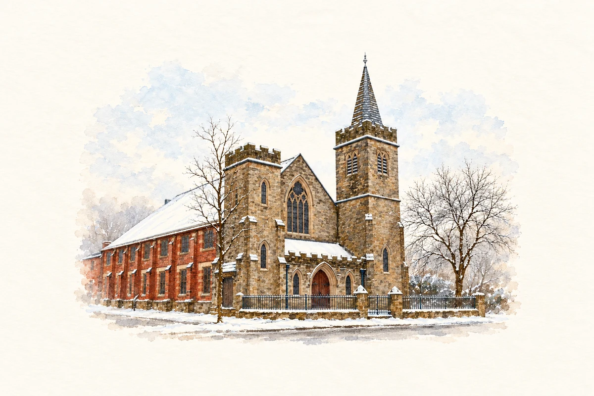
- Kirkpatrick Memorial Presbyterian Church, Ballyhackamore, Belfast illustration: based on a Kirkpatrick Memorial Presbyterian church, Belfast (2) by Albert Bridge. AI-assisted watercolour and ink adaptation; cream paper margins added, incidental clutter omitted and fine details simplified. Licence: CC BY-SA 2.0.
Name record retrieved 2026-10-25 · Source record modified 2019-10-08. How this page was prepared.