 placenames
Ballyhalbert
Baile Thalbóid
Ballyhalbert’s coastal history includes a medieval church, a contested nineteenth-century pier scheme and an airfield used in the Second World War.
The name
These Irish name elements are associated with this record in the Logainm glossary.
An element’s translation is a clue, rather than a complete explanation of the name. Its form and meaning depend on local history and the full Irish name.
Recorded forms
- Baile Thalbóid · Irish · main form · validated name
- Ballyhalbert · English · main form
Place & story
A church whose timbers travelled
Ballyhalbert’s ruined seafront church dates from the late thirteenth century according to the council’s heritage account. It was restored for Scottish settlers after Sir James Hamilton acquired the area in 1606, and George Porter became minister in 1622. When the church fell into ruin, its roof timbers were salvaged in 1704 for the new church at nearby Balligan, linking the two places through reused building material. [2]
A pier debated in Parliament
Ballyhalbert’s pier prompted a Commons question in March 1889. Colonel Waring described a £7,000 scheme supported by £1,400 from Down’s grand jury and £350 in local subscriptions. The completed contract had cost £5,700, but local promoters argued that more work was needed for adequate accommodation. The Treasury acknowledged hardship while questioning whether further spending would produce sufficient benefit. The exchange records the difficulty of securing a useful harbour. [3]
A wartime fighter base
The airfield beside Ballyhalbert opened provisionally in May 1941 and officially on 28 June. It served RAF Fighter Command in the defence of Northern Ireland. Spitfires operated alongside aircraft including Hurricanes, Beaufighters and Defiant night fighters. Personnel from Poland, Canada, Australia and New Zealand were among those stationed there. This wartime installation added an international military chapter to the history of the coastal village. [4]
Geographic information
- Place type
- Population centre
- County
- Down
- Barony
- Ards Upper
- Civil parish
- Saint Andrews alias Ballyhalbert and Islands
- Within
- Ballyhalbert
- Coordinates
- 54.48882, -5.46882 (approximate)
- Logainm ID
- 1413115 ↗
Sources & further reading
- Logainm.ie — Ballyhalbert. Place names and geographic record, licensed under CC BY 4.0.
- Ulster-Scots in Ballyhalbert · Ards and North Down Borough Council
- Ballyhalbert Pier: House of Commons debate, 25 March 1889 · UK Parliament, Hansard
- Ballyhalbert Airfield: The Great Wars Trail · Ards and North Down Borough Council
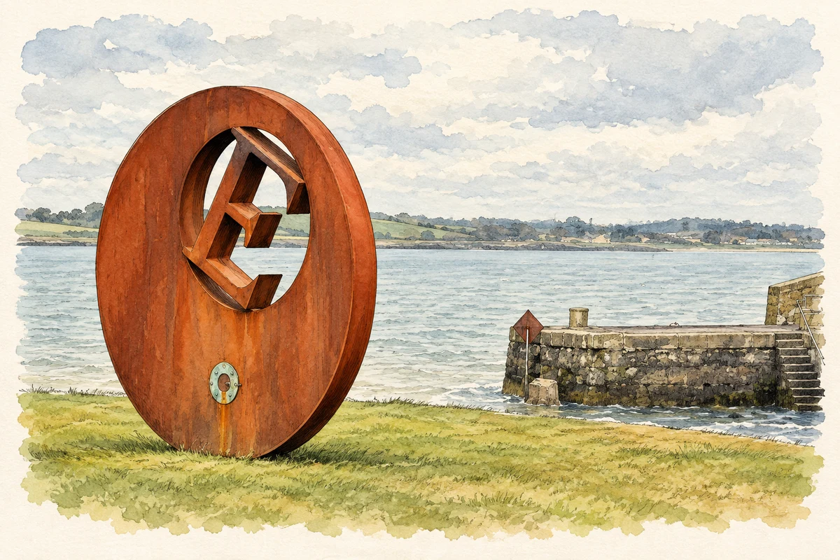
- E sculpture, Ballyhalbert harbour illustration: based on a "E" sculpture, Ballyhalbert harbour by Albert Bridge. AI-assisted watercolour and ink adaptation; cream paper margins added, incidental clutter omitted and fine details simplified. Licence: CC BY-SA 2.0.
Name record retrieved 2026-10-25 · Source record modified 2019-10-08. How this page was prepared.