 placenames
Ballyhornan
Baile Uí Chornáin
Ballyhornan’s coastal setting and its relationship with the former RAF station at Bishops Court have shaped different parts of village life. More recently, local volunteers have worked to restore the dunes that protect the beach and its approaches.
The name
These Irish name elements are associated with this record in the Logainm glossary.
An element’s translation is a clue, rather than a complete explanation of the name. Its form and meaning depend on local history and the full Irish name.
Recorded forms
- Baile Uí Chornáin · Irish · main form · validated name
- Ballyhornan · English · main form
Place & story
A neighbouring wartime training station
Bishops Court opened in May 1943 beside the Ballyhornan district. The International Bomber Command Centre archive identifies its early role in training air observers and air gunners, including Number 7 Air Observers School and Number 12 Air Gunnery School. Coastal Command B-24 aircraft also used the station, which had radar facilities. This combination of flying instruction, operational aircraft and communications infrastructure brought a large military presence into the previously rural coastal landscape. [2] [3]
The difficult transition after the RAF
The disposal of former military property left a complicated legacy for Ballyhornan. In a Northern Ireland Assembly debate on 22 May 2012, members discussed the conversion of barracks and quarters into housing, alongside unresolved responsibility for roads, drainage and common areas. They also recognised the employment and facilities the base had provided. The debate documents the practical difficulties of turning a military settlement into a civilian community, while recording different political interpretations of how that transition had been handled. [3]
Restoring the dunes
Lecale Conservation Association and Ballyhornan Village Development Association undertook a beach restoration project after vehicle access damaged the dune system. Council fencing restricted quads and motorbikes, while volunteers planted couch, lyme and marram grasses. Scouts gathered seaweed to help shelter and feed the young plants. Chestnut fencing trapped windblown sand. The association’s illustrated account records renewed dunes and two protected access paths in 2025, showing how planting and access management were used together to rebuild the shore’s natural defences. [4]
Guns Island and the coastal path
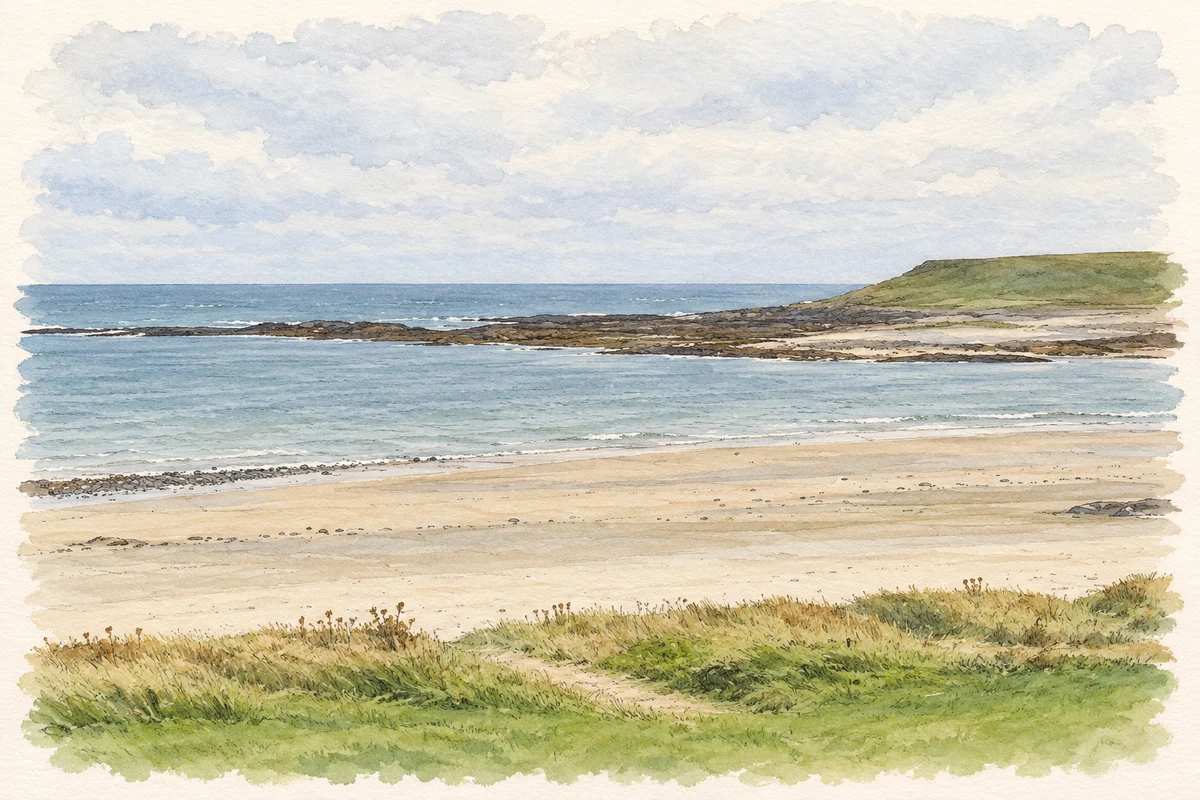
Guns Island lies in Ballyhornan’s bay, with the Isle of Man visible farther out in suitable conditions. The beach forms part of the Lecale Way and the South East Coast Canoe Trail. A coastal path leads south towards the wider landscape of cliffs, Saint Patrick’s Well and Ardtole Church. These are features along the surrounding route rather than buildings within the village itself, linking Ballyhornan with the neighbouring stretch of the Lecale coast. [5]
Geographic information
- Place type
- Population centre
- County
- Down
- Barony
- Lecale Lower
- Civil parish
- Dunsfort
- Within
- Ballyhornan
- Coordinates
- 54.29293, -5.55767 (approximate)
- Logainm ID
- 1413117 ↗
Sources & further reading
- Logainm.ie — Ballyhornan. Place names and geographic record, licensed under CC BY 4.0.
- RAF Bishops Court: archive entry · International Bomber Command Centre Digital Archive / Nigel Moore
- Ballyhornan and Bishopscourt: adjournment debate, 22 May 2012 · Northern Ireland Assembly, Official Report
- Ballyhornan Beach Restoration, Phase 1 · Lecale Conservation Association
- Ballyhornan Beach and the Lecale Way · Newry, Mourne and Down District Council tourism service
- Ballyhornan beach and Guns Island illustration: based on a The beach at Ballyhornan by Eric Jones. AI-assisted watercolour and ink adaptation; cream paper margins added, incidental clutter omitted and fine details simplified. Licence: CC BY-SA 2.0.
Name record retrieved 2026-10-25 · Source record modified 2019-10-08. How this page was prepared.