 placenames
Bohermore
An Bóthar Mór
A Limerick rural community where the schoolhouse, parish church and handball alley preserve different strands of local life.
The name
These Irish name elements are associated with this record in the Logainm glossary.
An element’s translation is a clue, rather than a complete explanation of the name. Its form and meaning depend on local history and the full Irish name.
Recorded forms
- An Bóthar Mór · Irish · main form · non-validated name
- Bohermore · English · main form
Place & story
The old classroom and the teacher’s room
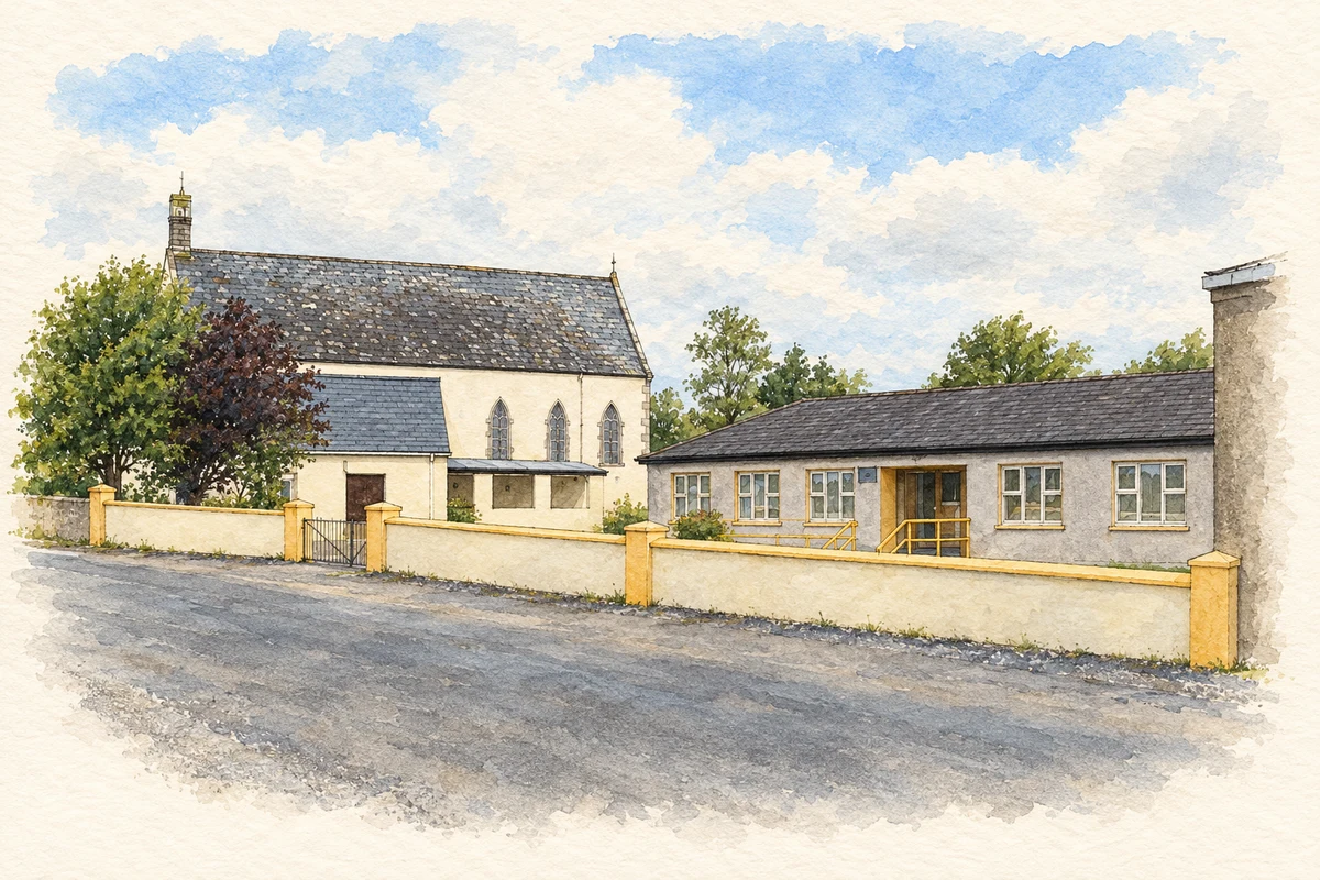
Bohermore’s nineteenth-century schoolhouse combined a classroom with living quarters for the teacher. Its own history recalls open fireplaces and children bringing turf for the fire, in a building without running water or electricity. A new school building replaced prefabricated classrooms in 1991, while the old school survived for preschool and childcare use. Later extensions included specialist teaching accommodation in 2020 and further classrooms in 2022. [2]
A parish church remembered alongside the school
The Church of the Immaculate Heart of Mary belongs to the parish of Ballybricken and Bohermore in the Archdiocese of Cashel and Emly. In 2024, a local anniversary celebration marked 150 years of the church together with the school’s165th anniversary and 65 years of the handball alley. The joint commemoration brought these three local institutions into one account of community history. [3] [5]
An alley used to develop hurling skills
Bohermore’s handball alley also offered a setting for another Gaelic game. In November 2010, Limerick Cumann na mBunscol announced plans to trial a hurling wall game there with sixth-class players. The aim was to improve first touch, control and coordination through play within the alley’s boundaries. The notice describes an experiment being organised, rather than evidence that a permanent competition subsequently developed. [4]
Geographic information
- Place type
- Population centre
- County
- Limerick
- Barony
- Clanwilliam
- Civil parish
- Caherconlish
- Civil parish
- Carrigparson
- Within
- Anglode
- Within
- Srahane
- Coordinates
- 52.61045, -8.52240
- Logainm ID
- 1413147 ↗
Sources & further reading
- Logainm.ie — Bohermore. Place names and geographic record, licensed under CC BY 4.0.
- About Bohermore NS · Bohermore National School
- Bohermore National School marks 165 Years as Church, Handball Alley join in milestone celebrations · Limerick Post, 4 October 2024
- Development of an Exciting new Hurling Wall/Alley Game · Annraoi O’Máirtín, Limerick Cumann na mBunscol, 26 November 2010
- Immaculate Heart of Mary, Bohermore · Archdiocese of Cashel and Emly
- Church and school, Bohermore, 2010 illustration: based on a Bohermore National School by David Hawgood. AI-assisted watercolour and ink adaptation; cream paper margins added, incidental clutter omitted and fine details simplified. Licence: CC BY-SA 2.0.
Name record retrieved 2026-10-25 · Source record modified 2026-05-20. How this page was prepared.