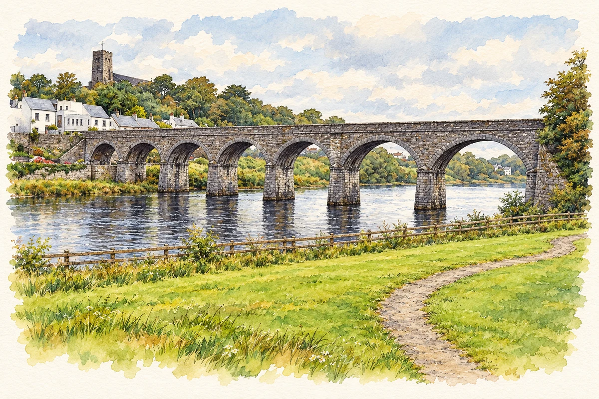
Newport’s river crossing and hilltop church frame a town whose development was shaped by linen manufacturing, maritime trade and the railway to Achill.
Illustration, Seven Arches railway viaduct, Newport, County Mayo
⊕Recorded locationNewport53.88664° N · 9.54522° WInteractive map supplied by OpenStreetMap.
These Irish name elements are associated with this record in the Logainm glossary.
An element’s translation is a clue, rather than a complete explanation of the name. Its form and meaning depend on local history and the full Irish name.
Recorded forms
Baile Uí Fhiacháin· Irish · main form · validated name
Newport· English · main form
Place & story
Linen weavers and the planned town
Mayo County Council's historical account traces Newport's planned development to Captain Pratt's settlement of linen weavers in 1719, on lands leased from the Medlycotts. Quaker settlers formed part of that early community, while the estate agent James Moore helped develop the quay. The river mouth offered access for trade and the town became associated with the linen economy. The O'Donels later acquired the estate lease, with Newport House becoming their principal nineteenth-century residence. This sequence connects the town's layout with changing landlords, manufacturing and access to the sea.[2][3]
The viaduct and the railway’s arrival
Newport's seven-arched viaduct carries a date stone marked 1892, although the railway opened in 1894. The architectural inventory connects it with the Midland Great Western Railway's extension towards Achill. Rock-faced stonework, limestone arch details and cutwaters combine structural work with a carefully finished appearance. The distinction between the date on the bridge and the opening of the line explains why both years appear in accounts of the landmark. Its sweep across the river remains one of the clearest physical reminders of the railway in the townscape.[4]
People & connections
A final masterpiece above the altar
Saint Patrick's Church was designed by Rudolph Maximilian Butler in the Hiberno Romanesque style, with its tower occupying a prominent position above Newport. Its Last Judgement window was commissioned from Harry Clarke in 1926 by Canon Michael McDonald. The National Inventory of Architectural Heritage describes it as a final masterpiece and identifies an unusual detail in the right-hand pane: Clarke represented himself as an inverted green-skinned figure among the damned. That small personal image sits within a much larger religious composition, linking the church with the artist's final period of work.[5]
Both counts use the 2016 settlement boundary, allowing like-for-like comparison. CSO supplies the 2022 count on this older boundary for comparison only. The official 2022 Built Up Area has different boundaries.
View population figures
Newport — Census 2016 settlement footprint — census population
These are the historical areas published in the 2006 census report. Boundaries may differ between censuses and from modern settlements. Legal towns, environs and suburbs are shown separately; none has been combined into a modern settlement total.
View population figures
Newport, Mayo — Census town, CSO 2006 report — census population
These are the historical areas published in the 1996 census report. Boundaries may differ between censuses and from modern settlements. Legal towns, environs and suburbs are shown separately; none has been combined into a modern settlement total.
View population figures
Newport, Mayo — Census town, CSO 1996 report — census population
Figures cover the historical town area printed in the 1986 report. Boundaries may have changed between censuses. Legal town, environs and suburb totals remain separate and differ from modern settlement boundaries.
View population figures
Newport, Mayo — Census town, CSO 1986 report — census population
These figures use different area definitions. Read the boundary note before comparing them.
Newport, Mayo
Published census settlement populations
626people · 2016
Settlement boundaries changed during this period. Differences may reflect boundary changes as well as population change. Where a 2011 legal-town-and-environs count is shown, it has not been recalculated onto the 2016 settlement boundary.
 placenames