 placenames
Ballymacarret
Baile Mhic Gearóid
Ballymacarret’s eastern-bank landscape developed through river engineering and industry, with archaeology and transport records preserving different parts of that history.
The name
These Irish name elements are associated with this record in the Logainm glossary.
An element’s translation is a clue, rather than a complete explanation of the name. Its form and meaning depend on local history and the full Irish name.
Recorded forms
- Baile Mhic Gearóid · Irish · main form · validated name
- Ballymacarret · English · main form
Place & story
Albert Bridge across the Lagan
Albert Bridge links East Bridge Street with Albertbridge Road across the Lagan. Its three cast-iron spans rest on piers and abutments faced with granite, with rounded cutwaters at the piers. The crossing joins the historic Antrim and Down sides of Belfast. The official buildings record places it in Ballymacarret Town Parks, making the bridge part of the district's physical connection with the city centre. [2]
Archaeology at the former Sirocco Works
Test trenches at the former Sirocco Works in November 2000 and January 2001 revealed alternating river deposits and material used to reclaim land. Archaeologist Alice Lyall reported a later brick surface, but the trenches did not recover the hoped-for waste from the site's former glassworks. The pottery and glass found were late nineteenth- or twentieth-century. The investigation documented how industrial land had been created at the Lagan's edge. [3]
The collision of January 1945
On 10 January 1945 a railmotor from Holywood struck a Bangor train waiting at a signal at Ballymacarrett in fog. Twenty-two people died and twenty-four were injured. The railway museum's account records criticism of both the railmotor driver's speed and company rules governing signals at danger. Compensation of £80,000 exhausted the railway's contingency reserve, adding to its difficulties as wartime traffic gave way to post-war decline. [4]
Geographic information
- Place type
- Population centre
- County
- Down
- Barony
- Castlereagh Upper
- Coordinates
- 54.59612, -5.91100 (approximate)
- Logainm ID
- 1413214 ↗
Sources & further reading
- Logainm.ie — Ballymacarret. Place names and geographic record, licensed under CC BY 4.0.
- Albert Bridge,HB26/30/026 · Historic Environment Division, Department for Communities
- Sirocco Works Ballymacarrett,2000:0008,licenceAE/00/60 · Alice Lyall, Northern Archaeological Consultancy
- Belfast and County Down Railway: Ballymacarrett accident · Downpatrick and County Down Railway
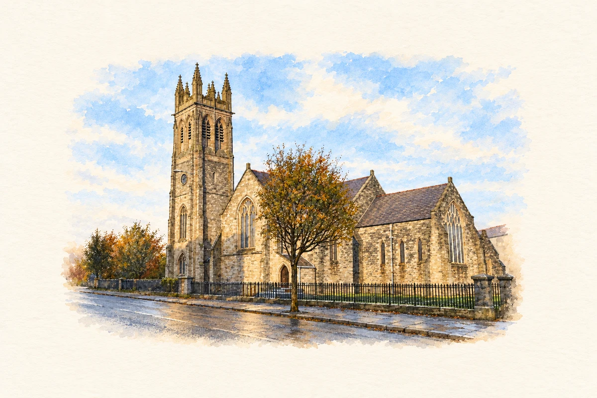
- Saint Patrick's Church of Ireland, Ballymacarrett illustration: based on a St. Patrick's Ballymacarrett by Brian Shaw. AI-assisted watercolour and ink adaptation; cream paper margins added, incidental clutter omitted and fine details simplified. Licence: CC BY-SA 2.0.
Name record retrieved 2026-10-25 · Source record modified 2019-10-08. How this page was prepared.