 placenames
Ballyroney
Baile Uí Ruanaí
Ballyroney’s transport and commercial history survives in the records of its former railway station and a Victorian shop later pictured on a postage stamp.
The name
These Irish name elements are associated with this record in the Logainm glossary.
An element’s translation is a clue, rather than a complete explanation of the name. Its form and meaning depend on local history and the full Irish name.
Recorded forms
- Baile Uí Ruanaí · Irish · main form · validated name
- Ballyroney · English · main form
Place & story
From railway terminus to through station
The Banbridge Extension Railway reached Ballyroney in 1880, following parliamentary authorisation in 1861. The village initially marked the end of the line from Banbridge. Legislation in 1900 permitted an extension towards Castlewellan and the Belfast and County Down Railway, and the route opened through to Newcastle in 1906. RailScot records Ballyroney station as operating until 1955, linking its history to the expansion and eventual contraction of this rural railway network. [2]
James Bingham’s general store
The former post office at the junction of Seafin Road and Tirkelly Hill Road began as a shop and dwelling around 1845. Historic Environment Division research identifies James Bingham as the merchant who established the general grocery there, renting from William Ingram. Bingham also operated a separate post office on Lackan Road. A two-storey outbuilding added behind the shop increased its valuation in 1885, recording the growth of the business. [3]
A post office on a postage stamp
When the Lackan Road post office closed in the 1950s, the former grocery became its replacement. Maureen Crothers served as postmistress there. In 1997 Royal Mail selected Ballyroney for a commemorative set depicting post offices in the four parts of the United Kingdom. Its Victorian shop and neighbouring red telephone kiosk appeared on the Northern Ireland stamp, giving a local service building a much wider public image. [3]
Geographic information
- Place type
- Population centre
- County
- Down
- Barony
- Iveagh Upper, Lower Half
- Civil parish
- Drumballyroney
- Coordinates
- 54.26718, -6.12726 (approximate)
- Logainm ID
- 1413218 ↗
Sources & further reading
- Logainm.ie — Ballyroney. Place names and geographic record, licensed under CC BY 4.0.
- Ballyroney station and railway chronology · RailScot
- Former Post Office,1 Tirkelly Hill Road,HB17/09/022A · Department for Communities,Historic Environment Division
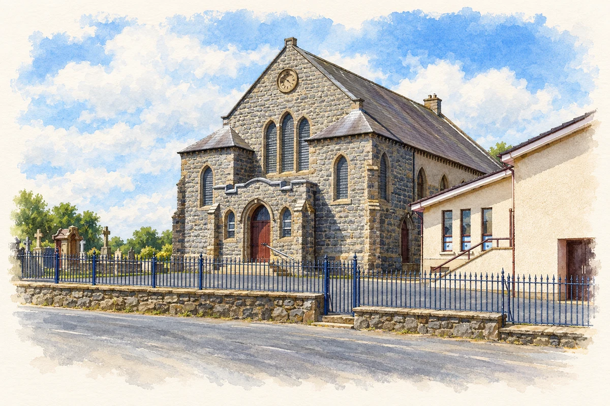
- Ballyroney Presbyterian Church illustration: based on a Ballyroney Presbyterian Church, County Down. by Henry Clark. AI-assisted watercolour and ink adaptation; cream paper margins added, incidental clutter omitted and fine details simplified. Licence: CC BY-SA 2.0.
Name record retrieved 2026-10-25 · Source record modified 2019-10-08. How this page was prepared.