 placenames
Ballyward
Baile Mhic an Bhaird
Ballyward grew around a road junction and corn mill, with its parish church and the buildings of Ballyward Lodge preserving distinct strands of its history.
The name
These Irish name elements are associated with this record in the Logainm glossary.
An element’s translation is a clue, rather than a complete explanation of the name. Its form and meaning depend on local history and the full Irish name.
Recorded forms
- Baile Mhic an Bhaird · Irish · main form · validated name
- Ballyward · English · main form
Place & story
The mill and the village junction
The council's village history places Ballyward's early development around the junction of Station Road and Ballyward Road, beside the parish church. The settlement accommodated workers from the mill on Station Road. Between the mid-nineteenth-century map surveys of 1846 and 1862, development extended northward along the road's curve towards the corn mill. A schoolhouse, post office and constabulary barrack gave this small cluster services beyond its industrial employment. [2]
A church and a Brontë connection
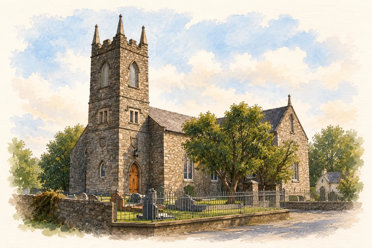
Drumgooland Parish Church was rebuilt in 1820 with a £900 grant from the Board of First Fruits and dedicated the following year. Its history records a square tower and a marble monument to Thomas Tighe, rector for fifty-six years. Tighe also served Drumballyroney parish and mentored Patrick Brontë, the future father of Charlotte, Emily and Anne. That association links the Ballyward church with the wider Brontë story in County Down. [3]
Ballyward Lodge and its working buildings
The 1836 Ordnance Survey Memoirs attributed Ballyward Lodge to William Beers in 1811. Historic Environment Division research identifies several estate outbuildings already present before the first detailed map of 1833, including a store carrying an 1811 datestone. Courtyard ranges, a bell-cote building and walled gardens survive within the estate group. These working structures preserve evidence of the household and agricultural organisation supporting the Georgian house. [4]
Geographic information
- Place type
- Population centre
- County
- Down
- Barony
- Iveagh Upper, Lower Half
- Civil parish
- Drumgooland
- Coordinates
- 54.27469, -6.03479 (approximate)
- Logainm ID
- 1413220 ↗
Sources & further reading
- Logainm.ie — Ballyward. Place names and geographic record, licensed under CC BY 4.0.
- Ballyward and Dechomet Village Renewal Plan,January2018,p.5 · Newry,Mourne and Down District Council
- Drumgooland Parish Church:history · Drumgooland Parish Church,Ballyward
- Ballyward Lodge estate outbuildings,HB17/10/007B · Department for Communities,Historic Environment Division
- Drumgooland Parish Church, Ballyward illustration: based on a Drumgooland Parish Church (CoI), Ballyward by Eric Jones. AI-assisted watercolour and ink adaptation; cream paper margins added, incidental clutter omitted and fine details simplified. Licence: CC BY-SA 2.0.
Name record retrieved 2026-10-25 · Source record modified 2019-10-08. How this page was prepared.