 placenames
Braniel
An Braineal
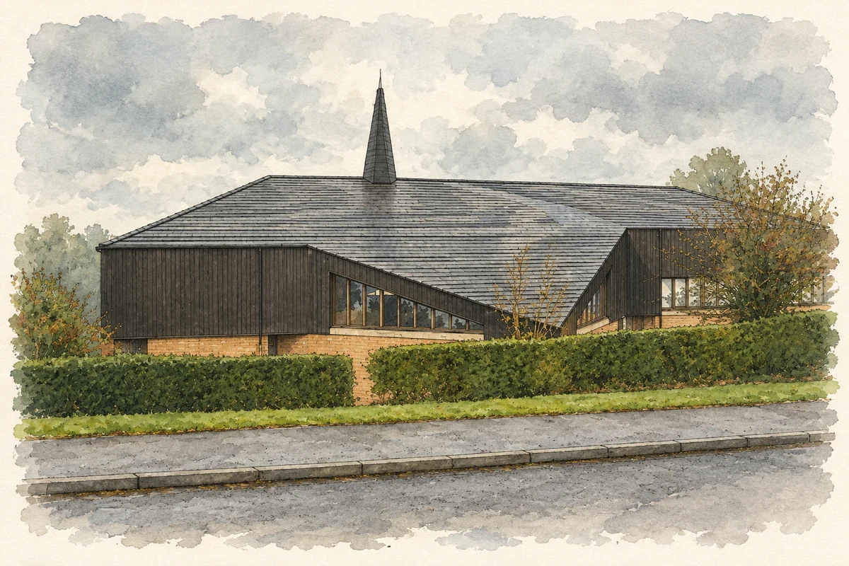
Braniel’s housing estate developed with shared facilities, including Whincroft House, its community centre and the church on Lower Braniel Road.
The name
A reliable full-name meaning has not been established here. The recorded Irish and English forms are given without an unsupported translation.
Recorded forms
- An Braineal · Irish · main form · validated name
- Braniel · English · main form
Place & story
Whincroft House and postwar housing
Whincroft House records the high-rise strand of Braniel’s postwar development. The University of Edinburgh’s Tower Block archive identifies it as a fifteen-storey building containing 56 dwellings, commissioned by the Northern Ireland Housing Trust and built by Farrans. Committee approval dates to 1963. The archive places it at Whincroft Way and Southland Dale, within the area then administered by Castlereagh Rural District Council. Its scale contrasted with the lower-rise housing of the surrounding estate. [2]
The community centre on Warren Grove
Braniel Community Centre was already more than forty years old when it transferred from Castlereagh to Belfast City Council in April 2015. A report that November recorded residents’ requests for improved provision and a condition survey identifying work the building needed. The council planned a temporary closure for repairs and discussed alternative venues with groups using the centre. These records show the practical importance of the Warren Grove building as a shared space whose regular activities had to continue during maintenance. [3]
Braniel Church
Braniel Church on Lower Braniel Road was registered for Methodist marriages on 8 March 1968. Later council records name it as a Methodist and Presbyterian church. The church and its attached hall occupy a sloping site at the junction with Woodview Drive, looking towards Belfast. In 2020 the council considered an extension containing sensory rooms, a kitchen and toilets for community use. The proposal joined new facilities to the existing hall, continuing the building’s role beyond its worship space. [4] [5]
Geographic information
- Place type
- Population centre
- County
- Down
- Barony
- Castlereagh Upper
- Civil parish
- Knockbreda
- Coordinates
- 54.56838, -5.86602 (approximate)
- Logainm ID
- 1413221 ↗
Sources & further reading
- Logainm.ie — Braniel. Place names and geographic record, licensed under CC BY 4.0.
- Braniel: Whincroft House NI36 · Tower Block, University of Edinburgh
- Braniel Community Centre maintenance report, 10 November 2015 · Belfast City Council, People and Communities Committee
- Registration of place of worship for marriages, 15 March 1968, page 91 · Registrar General; Belfast Gazette
- Braniel Church hall extension, LA04/2020/0639/F, 21 July 2020 · Belfast City Council, Development Management Officer
- Braniel Church, East Belfast, County Down illustration: based on a Braniel Church by Brian Shaw. AI-assisted watercolour and ink adaptation; cream paper margins added, incidental clutter omitted and fine details simplified. Licence: CC BY-SA 2.0.
Name record retrieved 2026-10-25 · Source record modified 2019-10-08. How this page was prepared.