 placenames
Corbet
An Carbad
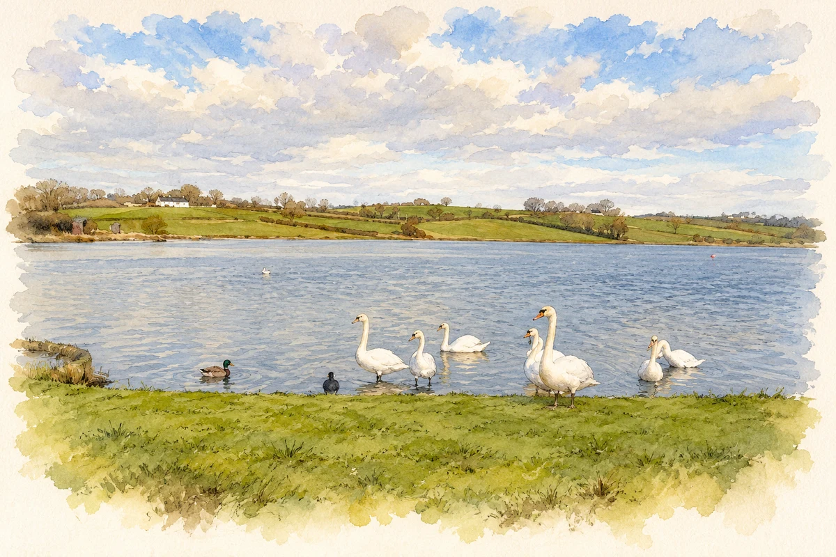
Corbet Lough connects the village with a nineteenth-century scheme for industrial water power and a later history of recreational fishing.
The name
A reliable full-name meaning has not been established here. The recorded Irish and English forms are given without an unsupported translation.
Recorded forms
- An Carbad · Irish · main form · validated name
- Corbet · English · main form
Place & story
An embankment for the linen industry
A scheme proposed in 1836 sought to improve the water supply available to bleachworks and mills along the Upper Bann. Corbet Lough became one of its reservoirs: an embankment retained floodwater, and automatic gates regulated its release towards the river. Together with Lough Island Reavy, it helped maintain industrial water power through seasonal changes in river flow. [2]
The Bann Reservoir Company
The reservoirs were developed and managed by the Bann Reservoir Company as a joint-stock undertaking. This collective organisation supported factories that depended on the same river, rather than serving a single mill alone. The company survived until its winding-up in 1953. Its surviving records, preserved in the Public Record Office of Northern Ireland, provide a documentary link between the lough and the Bann valley's industrial economy. [2]
Council ownership and angling
By 2014 Corbet Lough had a different public role. Giving evidence to a Northern Ireland Assembly committee on 11 March, Ulster Angling Federation chairman Jim Haughey described Banbridge council as the reservoir's owner and Banbridge Angling Club as its operator. His evidence highlighted the shared responsibilities involved in maintaining an angling amenity on an engineered reservoir, connecting its industrial origins with later recreational use. [3]
Geographic information
- Place type
- Population centre
- County
- Down
- Barony
- Iveagh Lower, Lower Half
- Civil parish
- Magherally
- Coordinates
- 54.34019, -6.20084 (approximate)
- Logainm ID
- 1413230 ↗
Sources & further reading
- Logainm.ie — Corbet. Place names and geographic record, licensed under CC BY 4.0.
- Industry in the Upper Bann Valley,Review6no2,1991 · Craigavon Historical Society
- Reservoirs Bill:Ulster Angling Federation,OfficialReport11March2014,p5 · Northern Ireland Assembly
- Corbet Lough illustration: based on a Corbet Lough by Kenneth Allen. AI-assisted watercolour and ink adaptation; cream paper margins added, incidental clutter omitted and fine details simplified. Licence: CC BY-SA 2.0.
Name record retrieved 2026-10-25 · Source record modified 2019-10-08. How this page was prepared.