 placenames
Deehommed
Deachoimheád
Dechomet is the local name recorded for Deehommed.
The name
A reliable full-name meaning has not been established here. The recorded Irish and English forms are given without an unsupported translation.
Recorded forms
- Deachoimheád · Irish · main form · validated name
- Deehommed · English · main form
- Dechomet · English · main form · local name
Place & story
A chapel in Lower Drumgooland
Samuel Lewis’s 1837 parish account records a Catholic chapel at Dechamet, alongside another at Gargary, within Lower Drumgooland. This gives the settlement a clear place in the nineteenth-century parish structure. Logainm identifies Dechomet as the local name of the canonical population centre Deehommed. [2] [3]
Village landmarks
The council’s 2018 village plan describes the church-centred crossroads and records a former flax mill south of the village on Church Hill, now Moneyslane Road, by 1956. Its historical review also places the later primary school on Closkelt Road by 1986. These are dates documented in the plan’s review, rather than asserted foundation dates. [4]
Geographic information
- Place type
- Population centre
- County
- Down
- Barony
- Iveagh Upper, Lower Half
- Civil parish
- Drumgooland
- Coordinates
- 54.30261, -6.09492 (approximate)
- Logainm ID
- 1413233 ↗
Sources & further reading
- Logainm.ie — Deehommed. Place names and geographic record, licensed under CC BY 4.0.
- Drumgooland: A Topographical Dictionary of Ireland,1837 · Samuel Lewis
- Deachoimheád/Deehommed, population centre1413233: Dechomet localname · Placenames Branch and Fiontar/DCU
- Ballyward and Dechomet Village Renewal Plan, January2018, pp26–28 · Newry, Mourne and Down District Council
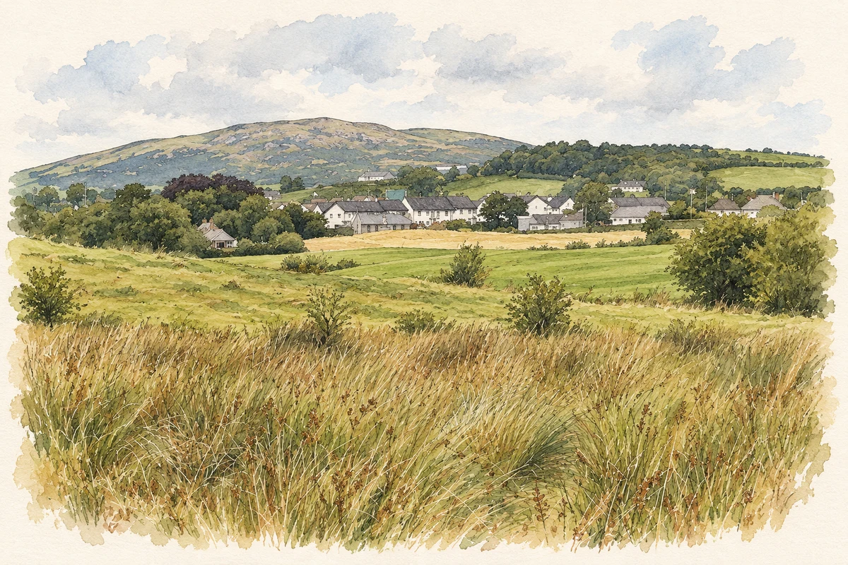
- Deehommed Mountain viewed from near Moneyslane illustration: based on a View across drumlins in the direction of the village of Moneyslane by Eric Jones. AI-assisted watercolour and ink adaptation; cream paper margins added, incidental clutter omitted and fine details simplified. Licence: CC BY-SA 2.0.
Name record retrieved 2026-10-25 · Source record modified 2019-10-08. How this page was prepared.