 placenames
Caw
Cath
Archaeology beside the Foyle reveals an early home and a shoreline altered by the railway; community gardens mark a later chapter.
The name
A reliable full-name meaning has not been established here. The recorded Irish and English forms are given without an unsupported translation.
Recorded forms
- Cath · Irish · main form · validated name
- Caw · English · main form
Place & story
A Neolithic home
Excavation ahead of housing development at Caw in 2003 uncovered a Neolithic house on higher ground beside the former tidal bay. It measured about 7.2 by 5 metres internally. Later boundary ditches had damaged its walls, but parts of the wall trenches and post-holes survived, along with pottery from an internal pit. The investigation also found traces of ironworking elsewhere on the site. [2]
The railway reshapes the shore
Peter Bowen's excavation report traced a change visible on nineteenth-century maps. In 1832, the area later called Gransha Intake was part of Rosses Bay. By 1856 the Derry–Coleraine railway followed a former mud bank, leaving a tidal lagoon between the line and the shore. The report concluded that much of the lower development ground had previously been tidal. [2]
Residents cultivate shared ground
Caw residents received a Best Improved Housing Estate award from the Northern Ireland Amenity Council in 2016. In Alan Walsh's report, the Caw and Nelson Drive Action Group described a community growing space with raised beds and a polytunnel, and work with the Housing Executive to extend woodland at the estate entrance. [3]
Geographic information
- Place type
- Population centre
- County
- Derry
- Barony
- Tirkeeran
- Civil parish
- Clondermot
- Within
- Caw
- Coordinates
- 55.00731, -7.28098 (approximate)
- Logainm ID
- 1413311 ↗
Sources & further reading
- Logainm.ie — Caw. Place names and geographic record, licensed under CC BY 4.0.
- 2003:362 — Caw, Derry · Peter Bowen, Archaeological Development Services Ltd.
- Delight as residents of Waterside housing estate win prestigious award, 20 December 2016 · Alan Walsh, Derry Now
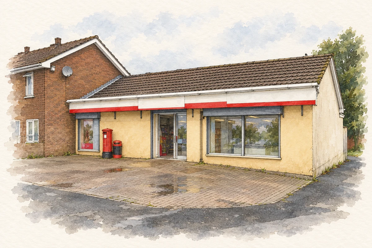
- Caw Post Office illustration: based on a Londonderry / Derry: Caw Post Office by Chris Downer. AI-assisted watercolour and ink adaptation; cream paper margins added, incidental clutter omitted and fine details simplified. Licence: CC BY-SA 2.0.
Name record retrieved 2026-10-25 · Source record modified 2018-10-30. How this page was prepared.