 placenames
Coolkeeragh
Cúil Chaorach
Coolkeeragh’s electricity industry has passed through oil-fired generation, an employee buyout and a major replacement plant.
The name
These Irish name elements are associated with this record in the Logainm glossary.
An element’s translation is a clue, rather than a complete explanation of the name. Its form and meaning depend on local history and the full Irish name.
Recorded forms
- Cúil Chaorach · Irish · main form · validated name
- Coolkeeragh · English · main form
Place & story
An opening recorded on film
A 1960 Gael Linn newsreel recorded the opening of the oil-fired station at Coolkeeragh. Preserved by the Irish Film Institute as edition 75 of Amharc Éireann, the short film documents an early stage in the locality’s development as an electricity-generating centre. [2]
Management and employees take ownership
Coolkeeragh Power’s submission to the Northern Ireland Assembly records that a management and employee buyout acquired the station in April 1992, supported by venture-capital finance. A later restructuring brought ESB International into the business as a 40 per cent shareholder in 1998. The company’s evidence links the replacement-station proposal with efforts to bring natural gas to the north-west. [3]
The replacement plant
ESB’s 2005 annual report records completion of the new 400-megawatt Coolkeeragh plant in March that year, at a cost of £207 million. Angela Smith and Noel Dempsey formally opened it on 22 June 2005. The report also records technical commissioning difficulties during its first year, a reminder that completion and reliable operation were separate stages in the project. [4]
Geographic information
- Place type
- Population centre
- County
- Derry
- Barony
- Tirkeeran
- Civil parish
- Clondermot
- Within
- Coolkeeragh
- Coordinates
- 55.03417, -7.26485 (approximate)
- Logainm ID
- 1413313 ↗
Sources & further reading
- Logainm.ie — Coolkeeragh. Place names and geographic record, licensed under CC BY 4.0.
- Ireland’s First Oil-Fired Power Station — Amharc Éireann 75 (1960) · Gael Linn / Irish Film Institute
- Energy Inquiry, Volume Three: Coolkeeragh Power Ltd written submission · Coolkeeragh Power Ltd executive team / Northern Ireland Assembly
- ESB Annual Report and Accounts 2005 — Coolkeeragh · Electricity Supply Board
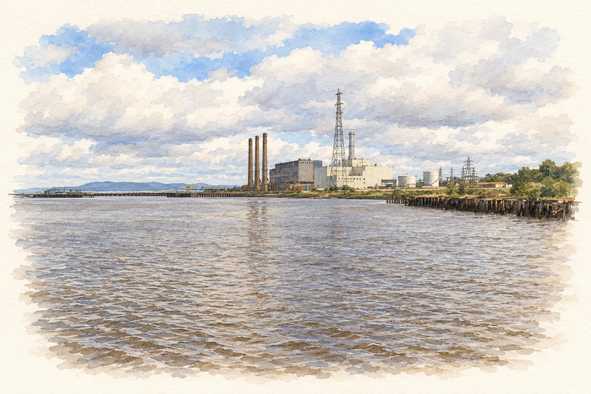
- Coolkeeragh Power Station in 2007 illustration: based on a Coolkeeragh Power Station by stuart r hines. AI-assisted watercolour and ink adaptation; cream paper margins added, incidental clutter omitted and fine details simplified. Licence: CC BY-SA 2.0. Additional reference: Coolkeeragh Power Station by Kenneth Allen, CC BY-SA 2.0.
Name record retrieved 2026-10-25 · Source record modified 2011-12-06. How this page was prepared.