 placenames
Curran
An Corrán
Curran’s records connect a Moyola crossing and livestock fairs with the later adaptation of a village hall.
The name
A reliable full-name meaning has not been established here. The recorded Irish and English forms are given without an unsupported translation.
Recorded forms
- An Corrán · Irish · main form · validated name
- Curran · English · main form
Place & story
A village on the Moyola
Samuel Lewis’s 1837 description places Curran on the road between Tobermore and Castledawson, beside a bridge across the Moyola. He records a large flour mill in the village. His account also distinguishes the land along the river from the poorer surrounding ground and the extensive bogs stretching towards Tobermore. [2]
Two annual fairs
Lewis lists cattle and pig fairs on 23 June and 22 November. He also records separate boys’ and girls’ schools under the National Board. These details describe the village’s commercial and educational functions in 1837; they do not establish that the fairs or the schools continued unchanged afterwards. [2]
Opening up the hall
A March 2013 evaluation for the International Fund for Ireland documents work by the Curran (1776) Hall Development Association, formed in 2008. Refurbishment of the Masonic hall provided improved access and basic facilities, helping it accommodate historical talks, community events, a women’s group and other activities. The evaluation also records contacts with a neighbouring Ancient Order of Hibernians group and organisations in Donegal. [3]
Geographic information
- Place type
- Population centre
- County
- Derry
- Barony
- Loughinsholin
- Civil parish
- Maghera
- Within
- Curran
- Coordinates
- 54.79492, -6.61612 (approximate)
- Logainm ID
- 1413317 ↗
Sources & further reading
- Logainm.ie — Curran. Place names and geographic record, licensed under CC BY 4.0.
- Curran: A Topographical Dictionary of Ireland,1837 · Samuel Lewis
- Evaluation of the Maximising Community Space Crossing Borders Programme, March2013, pp22–24 · Wallace Consulting for International Fund for Ireland
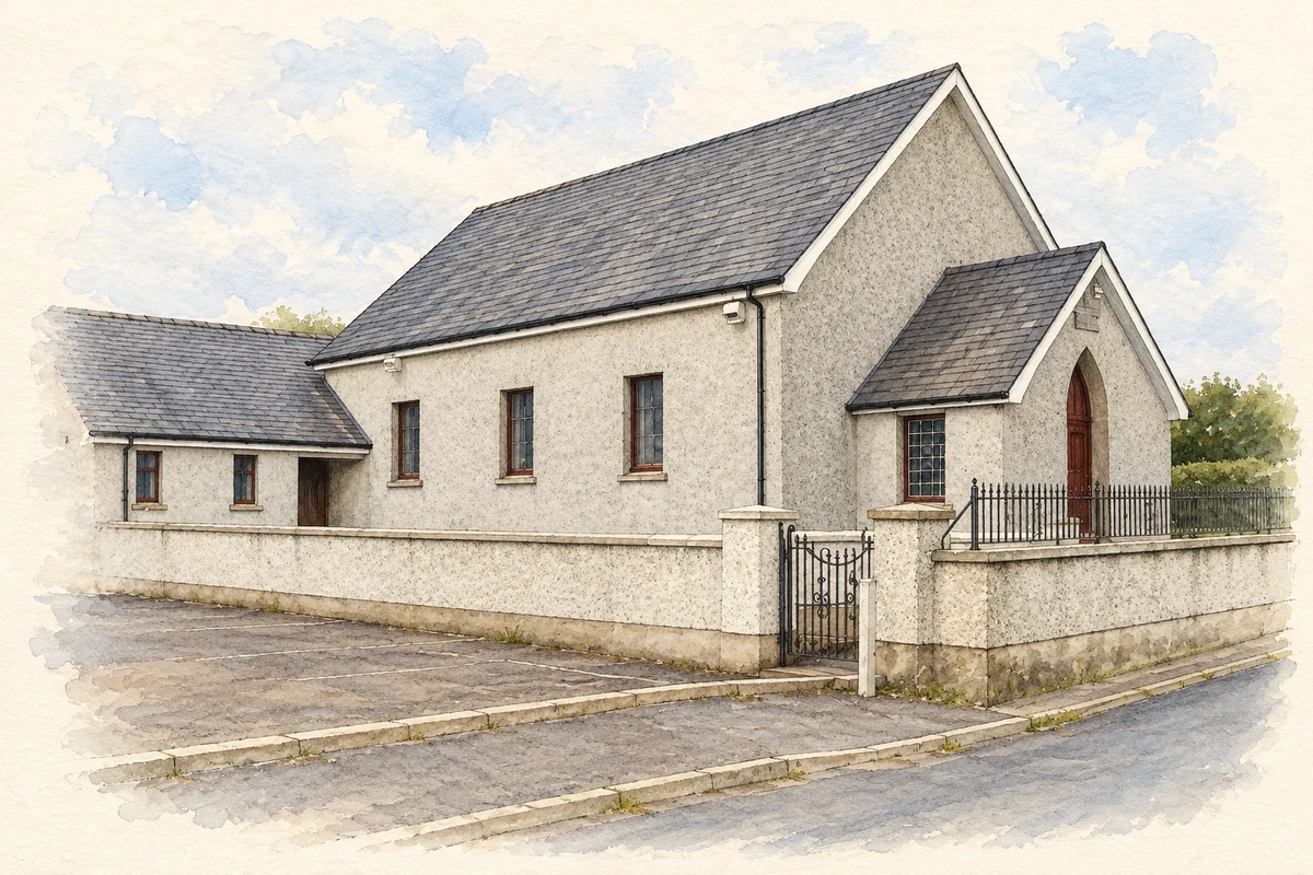
- Curran Presbyterian Church illustration: based on a Curran Presbyterian Church by Kenneth Allen. AI-assisted watercolour and ink adaptation; cream paper margins added, incidental clutter omitted and fine details simplified. Licence: CC BY-SA 2.0.
Name record retrieved 2026-10-25 · Source record modified 2011-12-06. How this page was prepared.