 placenames
Derryharney
Doire Charna
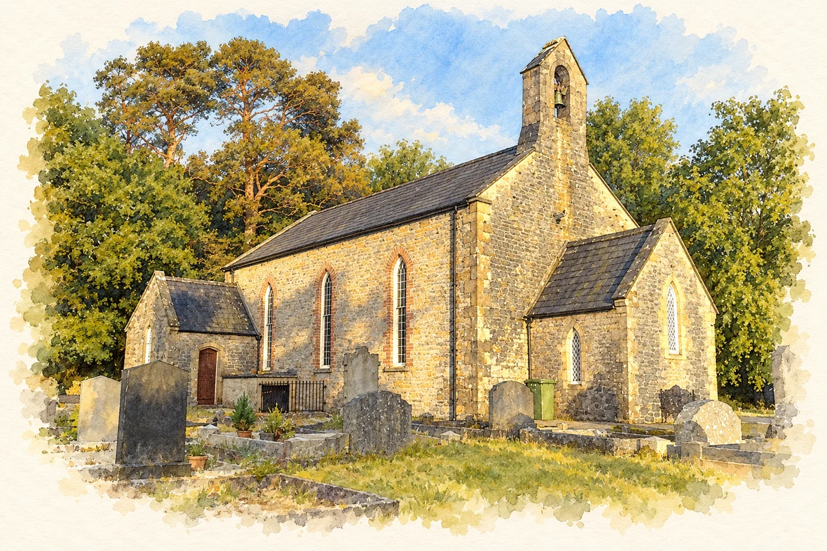
St Michael’s and excavated remains beside Derryhowlaght Lough reveal very different periods of activity around Derryharney.
The name
These Irish name elements are associated with this record in the Logainm glossary.
An element’s translation is a clue, rather than a complete explanation of the name. Its form and meaning depend on local history and the full Irish name.
Recorded forms
- Doire Charna · Irish · main form · validated name
- Derryharney · English · main form
Place & story
The making of St Michael’s
St Michael’s Church at Derryharney serves Derrybrusk parish. Its simple three-bay hall acquired a porch, belfry and vestry through work by Alexander Hardy in 1863 and 1867. A memorial chancel followed in 1883. The Irish Architectural Archive records that the enlarged church was licensed for worship on 24 October 1883 and consecrated on 26 August 1886. Its sources suggest that the nave had begun as a schoolhouse, although they do not establish a precise conversion date. [2] [3]
A discovery beside the lough
Field survey in September 1992 revealed a concentration of archaeological remains on the western shore of Derryhowlaght Lough, near Carry Bridge. Brian Williams and Fred Carroll identified at least ten burnt mounds and a line of at least three barrows, together with burnt daub, charcoal-rich deposits and slag. A late Mesolithic flint knife was also recovered near the shoreline, demonstrating an earlier presence without dating all the surrounding features to the same period. [4]
Timber beneath the burnt mounds
Malachy Conway’s excavation team worked here for seven weeks in summer 1993. Beneath one burnt mound and a nearby ramp-shaped feature they found a line of ten timber posts driven into peat. Other trenches uncovered small burnt mounds and a wooden lattice within a pit. The report could not date these excavated deposits from artefacts: radiocarbon samples were intended to resolve their chronology. The surviving sequence therefore mattered as much as the objects found. [4]
Geographic information
- Place type
- Population centre
- County
- Fermanagh
- Barony
- Magherastephana
- Civil parish
- Derrybrusk
- Within
- Derryharney
- Coordinates
- 54.28084, -7.53936 (approximate)
- Logainm ID
- 1413358 ↗
Sources & further reading
- Logainm.ie — Derryharney. Place names and geographic record, licensed under CC BY 4.0.
- Derrybrusk, Church of St Michael: works 7689 · Irish Architectural Archive
- Derrybrusk, Belle Isle, St Michael: survey 2009 · Church of Ireland, Gloine
- 1993:104 Derryharney, Fermanagh · Malachy G. Conway
- Saint Michael’s Church, Derryharney illustration: based on a St. Michael's Church, Derrybrusk by Dean Molyneaux. AI-assisted watercolour and ink adaptation; cream paper margins added, incidental clutter omitted and fine details simplified. Licence: CC BY-SA 2.0.
Name record retrieved 2026-10-25 · Source record modified 2012-01-11. How this page was prepared.