 placenames
Stragolan
Srath Gabhláin
Stragolan is a population centre in Fermanagh. Explore its recorded names and geographic context.
Recorded locationStragolan54.54205° N · 7.76821° WInteractive map supplied by OpenStreetMap.
Approximate recorded location · Logainm.ie
The name
These Irish name elements are associated with this record in the Logainm glossary.
An element’s translation is a clue, rather than a complete explanation of the name. Its form and meaning depend on local history and the full Irish name.
Recorded forms
- Srath Gabhláin · Irish · main form · validated name
- Stragolan · English · main form
Geographic information
- Place type
- Population centre
- County
- Fermanagh
- Barony
- Lurg
- Civil parish
- Drumkeeran
- Within
- Stragolan
- Coordinates
- 54.54205, -7.76821 (approximate)
- Logainm ID
- 1413437 ↗
Sources & further reading
- Logainm.ie — Stragolan. Place names and geographic record, licensed under CC BY 4.0.
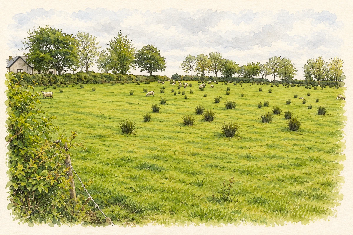
- A sheep pasture in Stragolan townland, County Fermanagh, as photographed in May 2007 illustration: based on a Stragloan Townland by Kenneth Allen. AI-assisted watercolour and ink adaptation; cream paper margins added, incidental clutter omitted and fine details simplified. Licence: CC BY-SA 2.0.
Name record retrieved 2026-10-25 · Source record modified 2018-08-07. How this page was prepared.