 placenames
Ballycrossaun
Baile Crosáin
Ballycrossaun, also known locally as Ballycrissane, belongs to the rural landscape north of Portumna. Ormond View, a succession of recorded postmarks and a nearby ruined windmill offer three different ways into its history.
The name
These Irish name elements are associated with this record in the Logainm glossary.
An element’s translation is a clue, rather than a complete explanation of the name. Its form and meaning depend on local history and the full Irish name.
Recorded forms
- Baile Crosáin · Irish · main form · validated name
- Ballycrossaun · English · main form
- Ballycrissane · English · main form · local name
Place & story
Ormond View and its occupants
Ormond View was associated with the Lemon family in the nineteenth century. Slater’s directory named Joseph Lemon there in 1846. At the time of Griffith’s Valuation, John D. Lemon leased the property from the representatives of Redmond Dolphin, and the house was valued at £12. The University of Galway’s Landed Estates research also records Waterview as an earlier name. These changing names and occupants connect the surviving residence with the estate and tenancy records of the surrounding district. [2]
Names carried through the post
Stan Challis’s catalogue of Galway postmarks records Ballycrossane as a postal office by the end of 1853. Later surviving cancellations use Ballycrissane with Eyrecourt, including examples dated between April 1890 and May 1922. A 1928 type instead couples Ballycrissane with Ballinasloe. Irish-language forms appear in subsequent marks. These are dates of recorded postal evidence, rather than a complete history of the office’s operation, but they show how local spelling and postal routing changed over time. [3]
The windmill at Derryhiveny
Nearby in Derryhiveny North, a ruined windmill stands above the former demesne. The architectural inventory dates it approximately to 1750 and records that it was already ruined by the late nineteenth century. Its circular limestone tower rises through three stages, with doorways on opposite sides and smaller openings above. The dressed stone around the entrances remains legible despite damage and partial blocking. Its elevated roadside position preserves a conspicuous reminder of the district’s former milling landscape. [4]
Geographic information
- Place type
- Population centre
- County
- Galway
- Barony
- Longford
- Civil parish
- Tiranascragh
- Within
- Ballycrossaun
- Coordinates
- 53.14938, -8.19432 (approximate)
- Logainm ID
- 1413447 ↗
Sources & further reading
- Logainm.ie — Ballycrossaun. Place names and geographic record, licensed under CC BY 4.0.
- Ormond View: Landed Estates property 895, reproduced in nearby-house results · University of Galway, Landed Estates
- The Postmarks of County Galway, Part 2, Autumn 1993, page 10 · Stan Challis
- Derryhiveny North windmill, NIAH 30411804 · National Inventory of Architectural Heritage
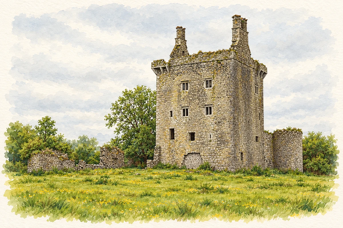
- Derryhivenny Castle, near Ballycrossaun illustration: based on a Castles of Connacht: Derryhivenny, Galway (1) by Mike Searle. AI-assisted watercolour and ink adaptation; cream paper margins added, incidental clutter omitted and fine details simplified. Licence: CC BY-SA 2.0.
Name record retrieved 2026-10-25 · Source record modified 2021-03-11. How this page was prepared.