Corrandulla’s institutional history includes the Franciscan Brothers, a church built in stages and a memorable transition from local generators to mains power.
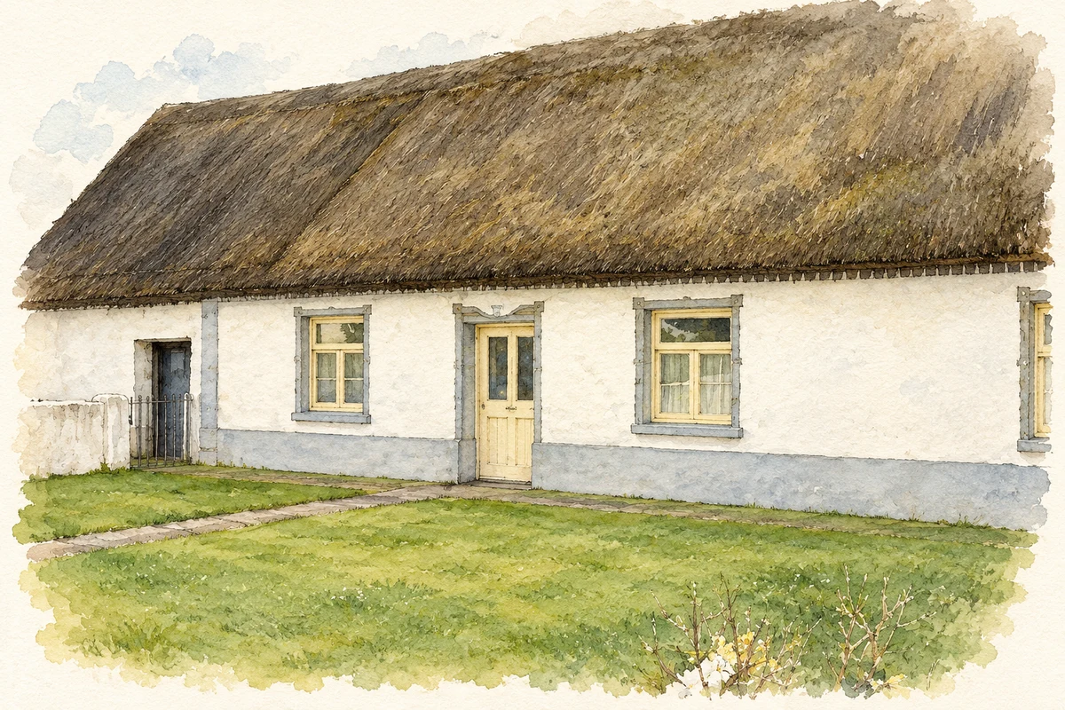
Illustration, a thatched cottage about 700 metres northwest of Corrandulla, County Galway
⊕Recorded locationCorrandulla53.39893° N · 8.99557° WInteractive map supplied by OpenStreetMap.
A reliable full-name meaning has not been established here. The recorded Irish and English forms are given without an unsupported translation.
Recorded forms
Cor an Dola· Irish · main form · validated name
Corrandulla· English · main form
Place & story
Saint Brendan’s built in stages
Parish accounts record payments for work on Saint Brendan’s church during the early 1840s, including slates, lime, nails and labour. The building acquired its familiar features gradually: a belltower was added in 1890, a sacristy in 1920 and an altar in 1921. Woodworm forced re-roofing in 1939, when a gallery for 120 people was also installed. The church’s changing fabric records successive generations of local building work.[2]
The Franciscan Brothers arrive
The Franciscan Brothers came to Corrandulla in 1851, with Brother Elias Silke leading the foundation. They moved into their completed monastery in 1856. School subjects included arithmetic, history and geography, while religious instruction was given in Irish. In 1885 the monastery became the congregation’s central novitiate, bringing aspiring Brothers to the village for a period of prayer, study and preparation for religious life.[3]
Wind power before the ESB
The monastery annals record a wind charger installed in September 1941. It improved on lamps and candles, but fluctuating winds made the supply unreliable. An oil-driven engine replaced it in October 1950. Mains electricity followed in November 1953, with a switch-on ceremony in the parish church. The monastery’s wiring was ready that same evening. These successive systems show how the practical experience of electric light changed before the rural electrification network arrived.[3]
A shared national school
Co-education came to Corrandulla in 1994 through the amalgamation of Saint Brendan’s boys’ school and Saint Briga’s girls’ school. The combined school moved into a new eight-classroom building in 1995, on a wooded site behind the community centre. Further classrooms followed in 2004, and another extension began in 2009. The merger established a shared institution after the earlier pattern of separate schools.[4]
Both counts use the 2016 settlement boundary, allowing like-for-like comparison. CSO supplies the 2022 count on this older boundary for comparison only. The official 2022 Built Up Area has different boundaries.
View population figures
Corrandulla — Census 2016 settlement footprint — census population
These figures use different area definitions. Read the boundary note before comparing them.
Corrandulla, Galway
Published census settlement populations
241people · 2016
Settlement boundaries changed during this period. Differences may reflect boundary changes as well as population change. Where a 2011 legal-town-and-environs count is shown, it has not been recalculated onto the 2016 settlement boundary.
Thatched cottage near Corrandulla, County Galway illustration: based on a Thatched House by Frank. AI-assisted watercolour and ink adaptation; cream paper margins added, incidental clutter omitted and fine details simplified. Licence: CC BY-SA 2.0.
 placenames