These Irish name elements are associated with this record in the Logainm glossary.
An element’s translation is a clue, rather than a complete explanation of the name. Its form and meaning depend on local history and the full Irish name.
Recorded forms
Cill Cholgáin· Irish · main form · validated name
Kilcolgan· English · main form
Place & story
The medieval borough
Kilcolgan developed a medieval borough in the thirteenth century after Richard de Burgh granted lands here to Maurice Fitzgerald. An archaeological report by Richard Crumlish suggests that the settlement was probably abandoned during the fourteenth or fifteenth century. Little visible evidence survives beyond the castle site and ecclesiastical remains to its southwest. Trial trenches beside the later castle grounds in 1997 found natural deposits, with no buried structures or archaeological features in the tested area.[2]
A bridge with different generations of arches
Kilcolgan Bridge has six limestone arches, but they do not all belong to one building campaign. The outer sections date to around 1780, while the central elliptical arch was inserted around 1870. Smaller round arches and rougher rubble walling contrast with the dressed stone of the later middle section. The national architectural inventory suggests that changes in the river’s flow may have prompted the alteration, though that explanation remains tentative.[3]
A Gothic retirement house
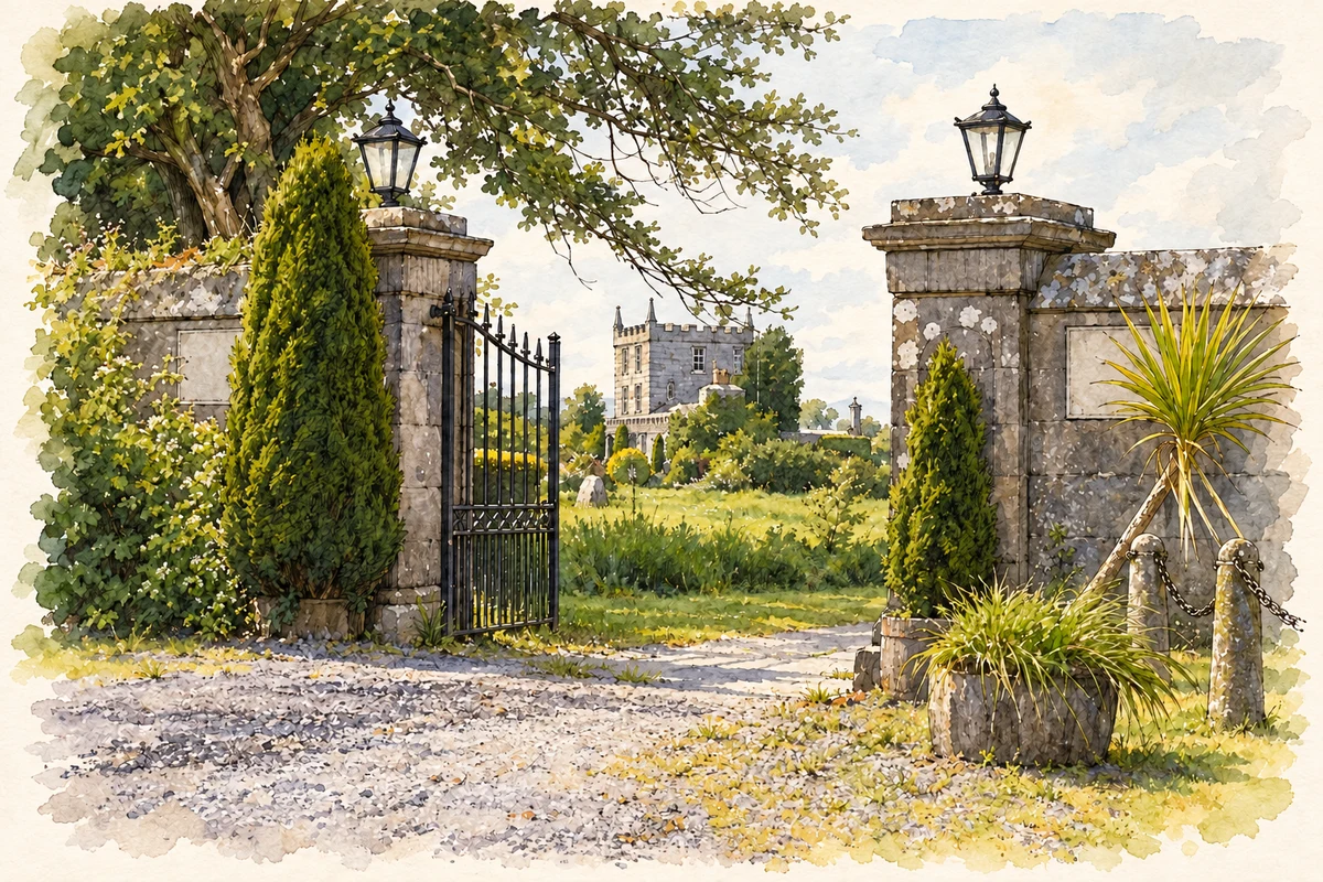
Christopher St George built Kilcolgan Castle in 1801 after handing nearby Tyrone House to his son. The Gothic Revival house incorporated fabric from a medieval castle, possibly retaining much of its earlier tower. Battlements, pinnacles and pointed windows gave the remodelled residence a deliberately castellated appearance. Single-storey wings flank its taller central block, and the adjoining grounds include outbuildings, a walled garden and decorative entrance gates.[4]
The remains of Tyrone’s demesne
Nearby Tyrone House stands as a ruin above the river estuary. Built in 1779 for the St George family, it was abandoned in the early twentieth century and burned in 1920. The national garden survey records more than the house: surviving estate features include a quay, a walled coal yard, and a causeway and dam. These remnants show how the demesne once combined residential display with working facilities along the shore.[5]
Both counts use the 2016 settlement boundary, allowing like-for-like comparison. CSO supplies the 2022 count on this older boundary for comparison only. The official 2022 Built Up Area has different boundaries.
View population figures
Kilcolgan — Census 2016 settlement footprint — census population
These figures use different area definitions. Read the boundary note before comparing them.
Kilcolgan, Galway
Published census settlement populations
141people · 2016
Settlement boundaries changed during this period. Differences may reflect boundary changes as well as population change. Where a 2011 legal-town-and-environs count is shown, it has not been recalculated onto the 2016 settlement boundary.
Kilcolgan Castle entrance, County Galway illustration: based on a Kilcolgan Castle - Kilcolgan Townland by Mac McCarron. AI-assisted watercolour and ink adaptation; cream paper margins added, incidental clutter omitted and fine details simplified. Licence: CC BY-SA 2.0.
 placenames